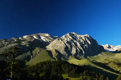
Men Kutsal Alan, Isparta'nın Yalvaç ilçesinin 5 km güneydoğusunda Sultan Dağı'nda, 1600 metrede yer alan Ay Tanrısı Men'e adanmış antik tapınak alanıdır; giriş ücretsizdir ve Eğirdir ile Beyşehir göllerini aynı anda gören nadir bir manzara noktasıdır.
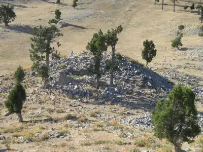
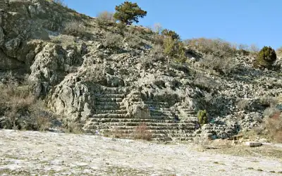
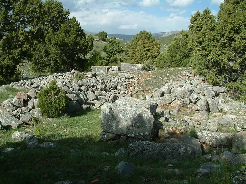
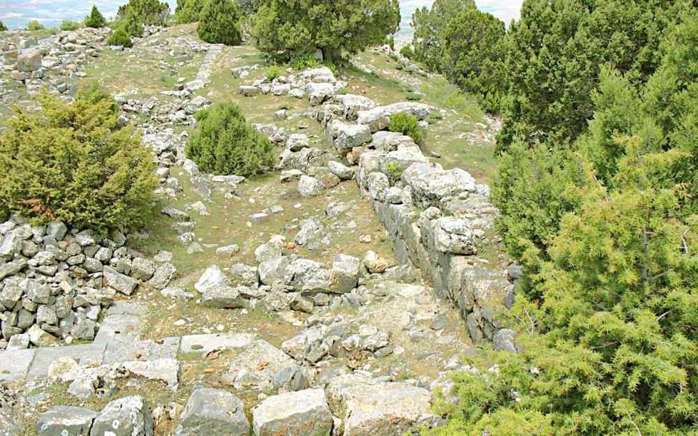
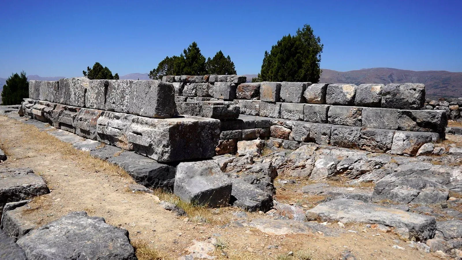
Men Sacred Area is located 5 km southeast of the ancient city of Antiokheia, in the Gemen Grove on Sultan Mountain. The sacred area was established in the name of the Moon God Men. It is believed that the first structures began in the 3rd century BC and were expanded during the Roman Period to acquire their present form. At the highest point on the hill is the temple, surrounded by a temenos wall, below it are house remains, to the north a stadium and small temple remains with an andron. North of the sacred area there are also remains of a Byzantine church.
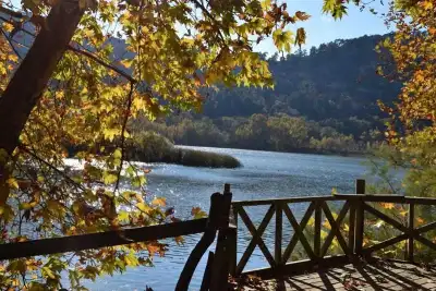
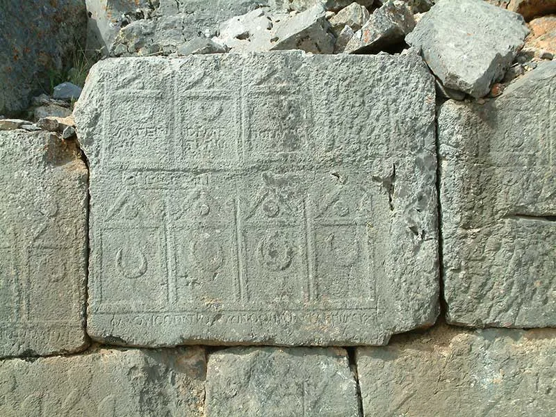
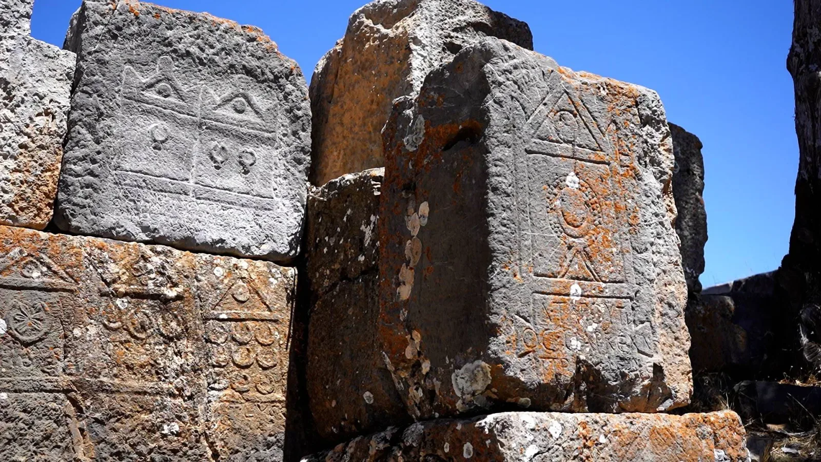
The real power of this place comes from its location. At approximately 1600 meters elevation, you can see the Yalvac Plain 400 meters below, Beyshehir Lake to the southeast, and Egirdir Lake to the southwest all at once. Visitors particularly highlight this point: they note that the view is impressive and a wide area from Egirdir Lake to Yalvac district can be observed from here. The reliefs on the temenos wall are also noteworthy details. Upon entering the area, you can see C-shaped moon motifs, temple figures, and inscriptions on the wall on the left side.
Those who visit note something common about the road: Google Maps sometimes misdirects, and the dirt trail is a mixture of soil and gravel but passable by vehicle or on foot. The fact that it hasn't yet been sufficiently developed for tourism is also a common observation in comments. This makes the area a quiet visit point away from crowds.
Guide's Note
Best Time to Visit
Since the peak elevation is around 1600 meters, weather conditions operate differently from the plain below. In summer months, early morning or late afternoon hours can be preferred; it's difficult to find shade during midday heat. In winter months, the dirt road can become muddy or snow-covered, so late spring through autumn is the most comfortable period. In autumn, the view of the plain and lakes is clearer because the weather is generally calmer.
How to Get There
Men Sacred Area is approximately 6 km from the ancient city of Antiokheia, 5 km southeast of Yalvac on Sultan Mountain. The asphalt road ends along the way, and a dirt and gravel mixed trail begins. Visitors note that while the road is passable, its quality is low. Google Maps sometimes misdirects; observations frequently mention that you need to turn left, not right. Taking your own vehicle or renting one from Yalvac is the most practical option.
How Much Time to Allocate
The area itself is not large; walking around the temple, temenos wall, house remains, and stadium traces takes 1-1.5 hours. However, travel time should be added to this, and planning half a day including departure and return from Yalvac is more realistic. It is possible to add the ancient city of Antiokheia to the same day program, as the distance between the two points is short.
Route Suggestion
Leaving from Yalvac center, first visiting the ancient city of Antiokheia, then moving to Men Sacred Area is a logical sequence. Upon entering the area, head towards the temenos wall on the left and examine the reliefs closely. Then climb to the highest point on the peak, the building remains that some visitors refer to as the priest's house, and view the landscape from there. On the way back, it is possible to stop by the Byzantine church remains to the north.
Photography Points
Photos taken from the building remains on the peak capture both the temple and the backdrop of the plain and lake landscape in the same frame. The moon motif reliefs on the temenos wall are also interesting for close-up shots. In terms of lighting, late afternoon hours when the sun strikes from the side and the landscape becomes clearer is the ideal time period.
Things to Keep in Mind
The road is a mixture of soil and gravel, can become slippery on rainy days. There is no shade, water source, or sales point in the area; bring water and sun protection with you. The archaeological site does not yet have extensive tourism infrastructure, which means both lack of maintenance and a quiet solitude away from crowds. Google Maps directions can sometimes be misleading, be careful when entering the trail.
What You Need to Know About the Area
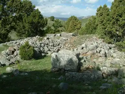
The sacred area is not just a single structure. At the highest hill to the south is the Men Temple built on the main platform and surrounded by a temenos wall. There are house remains near the north and east, a stadium trace at the far north. A bit further east at elevation are small temple remains with an andron, and north of the sacred area are remains of a Byzantine church. It is one of the few remaining concrete areas related to Anatolia's ancient Moon God culture.
This content originates from neresigezilir.com.tr and may not be copied without permission.
Men Sacred Area Videos
Men Sacred Area videos load when you open this section to keep the page fast.
Show videos
FAQ
Updated: