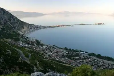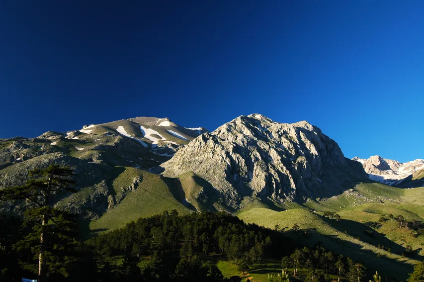
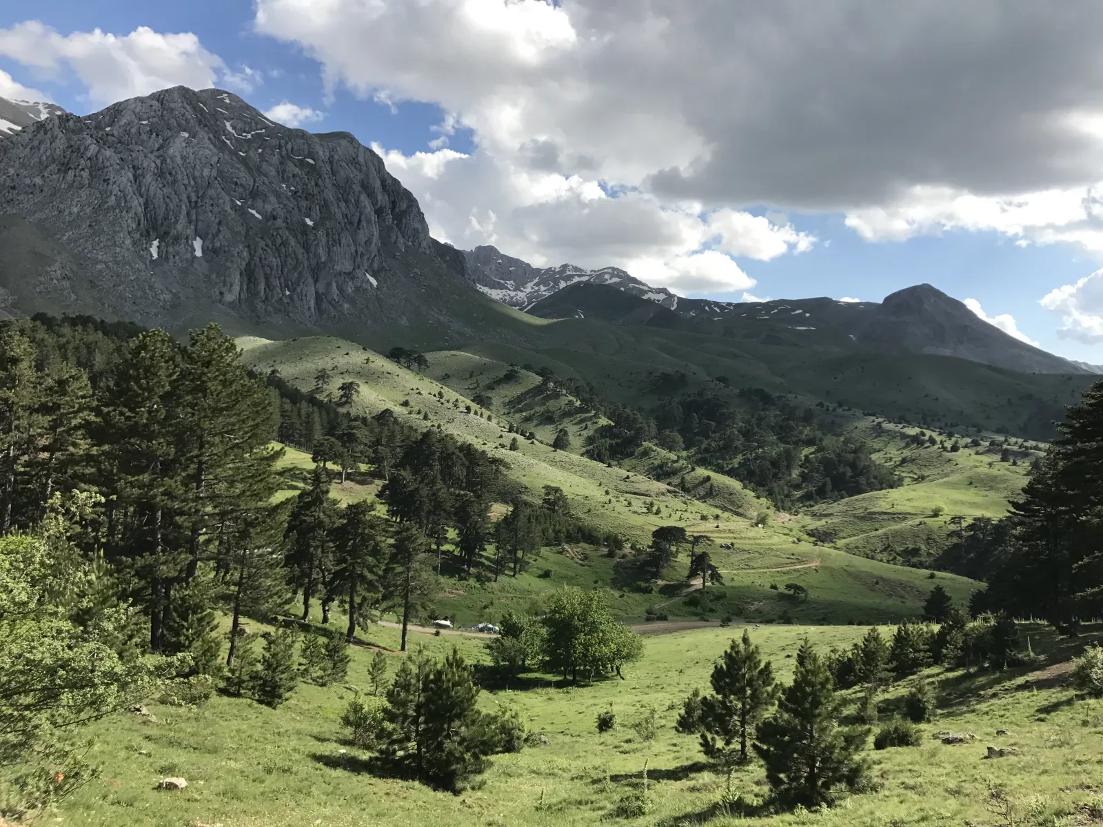
Dedegöl Mountain in Isparta, Türkiye rises 2,998 meters as the Central Taurus' highest peak, featuring Karagöl Lake at its summit and the endemic Dedegöl Flower on its slopes.
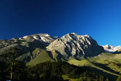
Dedegöl Mountain rises within the borders of the Yenişarbademli district of Isparta. At 2998 meters, it is the highest peak of the Central Taurus Mountains; according to sources, it is also the highest point in Isparta province. The mountain, composed of limestone, is approximately 12 km long in a north-south direction. The summit is called Dedegöl Peak, with Kartal Peak (2983 m) and Karçukur Peak (2932 m) nearby.
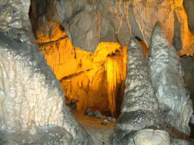
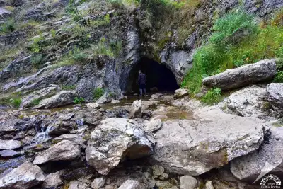
In 2018, the western part of the mountain was included in Kızıldağ National Park, and the eastern part in Beyşehir Lake National Park. Karagöl Lake at the summit and the Dedegül Flower, which grows only on the foothills of this mountain, are two points sought after by mountaineers and nature observers. The only glacial remnant in the Western Taurus Mountains is also found on the northern slope of Dipoyraz Peak. Inside the mountain is Pınargözü Cave, considered Turkey's longest cave with a known length of 15 km.
Every year in May, a three-day Mountaineering Festival is held in Melikler Plateau. Mountaineers from all over Turkey set up tents here and climb to the summit. The classic route is approximately 11.7 km, with an altitude gain of around 1330 meters, requiring moderate mountaineering difficulty. Although summer months are considered the most suitable period for climbing, the snow that descends to the foothills in winter offers a separate option for those who enjoy winter climbing.
Guide's Note
When to Visit
June to September is the most preferred period for Dedegöl Mountain climbs. The snow has melted, and the routes become safer. In May, a three-day Mountaineering Festival is held in Melikler Plateau; mountaineers from all over Turkey gather here, and the summit is climbed together. In winter, the snow that descends to the foothills creates a separate attraction for experienced winter climbers. However, this period is only suitable for equipped and experienced groups.
How to Get There
Dedegöl Mountain is accessible by all types of vehicles. From Isparta city center, you can go by road to the Yenişarbademli district, and from there to the foothills of the mountain. The distance to the city center is approximately 95 km. If you don't have your own vehicle, you need to reach Yenişarbademli by public transport and then continue with a local vehicle or a hiking route.
Route and Difficulty
The classic route is approximately 11.72 km long, involving a 1330-meter altitude gain and the same amount of altitude loss. The maximum altitude reaches up to 2971 meters. The difficulty level is defined as moderate mountaineering, meaning it is not a suitable trail for inexperienced hikers. It is safer to go with an experienced group or a guided program before attempting to climb to the summit.
How Many Days to Allocate
A single-day climb can take 8-10 hours. For those who want to go camping, a 2-day plan is more comfortable: reaching the foothills and setting up camp on the first day, then ascending to the summit early the next day. If you are attending the mountaineering festival in Melikler Plateau, a three-day program is involved.
Things to Consider
Dedegöl Mountain is a moderate mountaineering route, not a flat hiking trail. Due to the limestone terrain, variable weather conditions, and long distance, appropriate equipment is essential: water, map, suitable shoes, and rope if necessary. Winter climbs are only recommended for experienced and equipped groups. If you are participating in organized events, confirm the application deadlines and participation conditions with the organizing institution.
Photo Spots
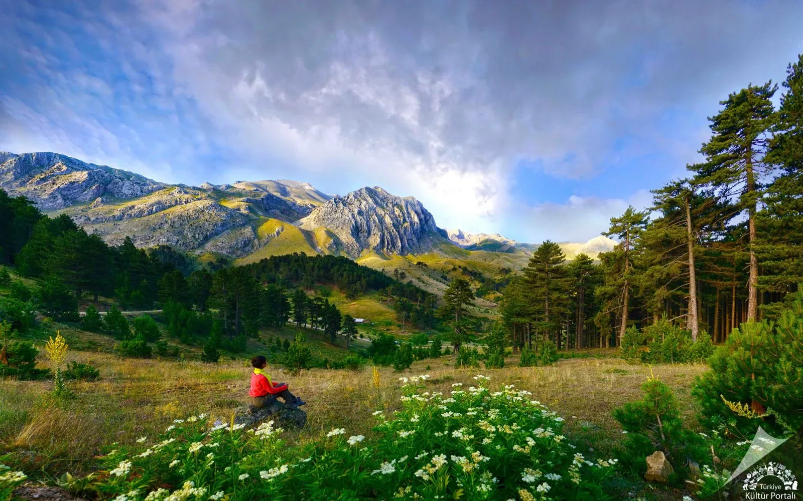
Karagöl Lake near the summit is the most preferred shot due to its view and location. When viewed from Melikler Plateau, the general silhouette of the mountain and the plateau texture at the foothills also offer a good angle for photography. During the period when the endemic Dedegül Flower blooms, detailed shots can be taken at the foothills.
Natural Value of the Region
The area around Dedegöl Mountain is considered rich in endemic plant species. The region also features blue-leaved Cedar Trees, which are stated to be found only here in Turkey. In 2018, the western part of the mountain was included in Kızıldağ National Park, and the eastern part in Beyşehir Lake National Park; this indicates that the area is under protection.
This content originates from neresigezilir.com.tr and may not be copied without permission.
Dedegöl Mountain Videos
Dedegöl Mountain videos load when you open this section to keep the page fast.
Show videos
FAQ
Updated: