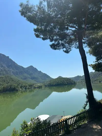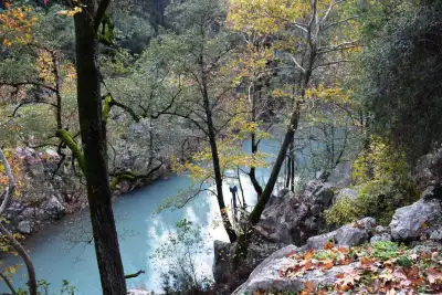
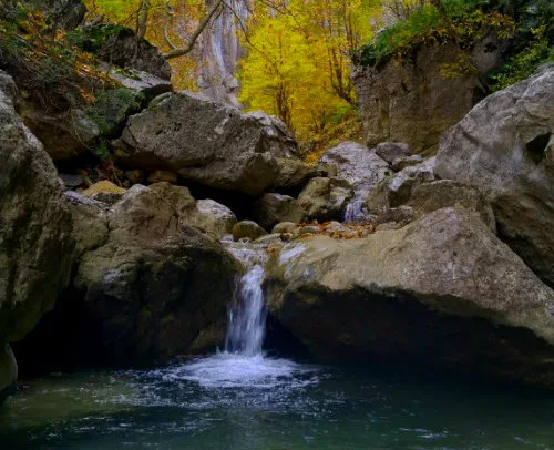
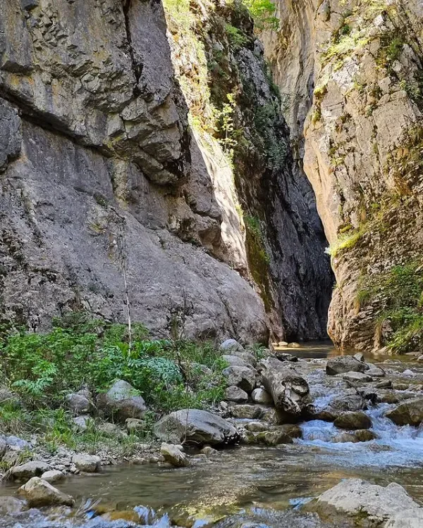
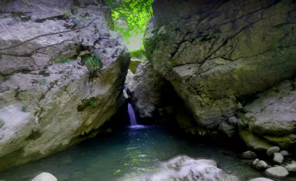
Yaka Canyon in Isparta, Türkiye is a 4-kilometer natural gorge with depths reaching 100 meters and widths narrowing to 1.5 meters, featuring steep cliffs and water-carved rock formations requiring technical hiking skills.
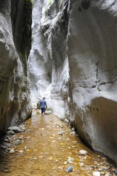
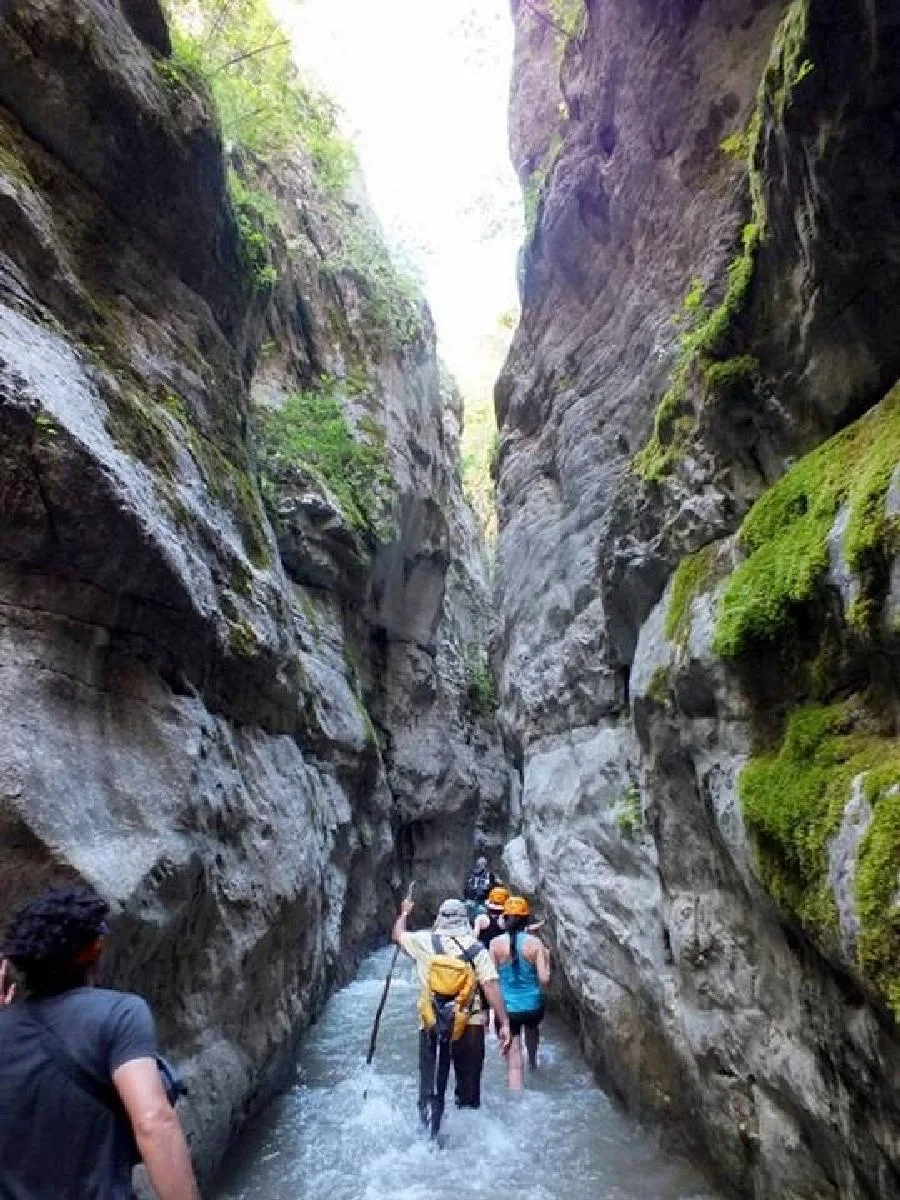
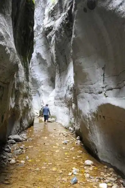
Yaka Canyon is located just above Yaka Village, connected to Aksu district of Isparta, starting from the lower part of Melikler Plateau. While its depth varies from 30 meters to 100 meters in places, its width narrows to as little as 1.5 meters in some sections. The total length is approximately 4 kilometers. Due to this narrowing and depth variation, you encounter steep, sheer cliffs while passing through the canyon. This is not an ordinary hiking trail but a route requiring technical passage.
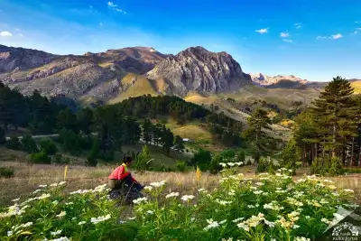
The water flowing through the canyon has created hollows called "giant pots" in the rock over time. The ground consists of gravel deposits and eroded rock blocks, which slows down the hiking in some spots. The vegetation varies by season. In spring and summer months, greenery intensifies, and butterfly and bird species noticeably increase. The waterfalls also flow more actively during the same period.
The canyon starts at Melikler Plateau and ends at Yaka Village. Therefore, passage is usually planned one-way, and two vehicles or support may be needed. For those wanting to camp in the area, Melikler Plateau is a suitable starting point.
Guide's Note
When to Visit
The canyon is most vibrant between late spring and summer months. Water levels during this period feed the waterfalls, and vegetation intensifies. In winter months, water levels and ground conditions make passage difficult, so it's not preferred. In autumn, although water has decreased, there's a more controlled environment for hiking.
How to Get There
Access from Isparta center to Aksu district is easy by road. You can proceed from Aksu towards Yaka Village to the canyon's exit point, or to Melikler Plateau for the starting point. Public transportation options are limited, it's recommended to go with your own vehicle or with a group familiar with the area.
How Much Time to Allow
Passing through the entire canyon from start to finish takes 4 to 6 hours; this time may extend depending on ground conditions and group pace. For those who want to see only a certain section and return, a short 2-hour tour is also possible. However, the sections that show the canyon's true character—the narrow and deep parts—are usually in the middle and final sections.
Route Suggestion
The common preference is to start from Melikler Plateau and descend towards Yaka Village. This direction allows you to experience the narrowing and deepening sections of the canyon in the direction of flow. Camping on the plateau side and starting early in the morning makes sense both for coolness and to make good use of the rest of the day.
Things to Pay Attention To
The ground is covered with eroded rock blocks and gravel deposits; water levels can rise at some points. Technical equipment or at least sturdy, non-slip footwear is required. Since the canyon passage is one-way, you should plan transportation coordination between the starting and ending points in advance. If going without a guide, you need to move in coordination with someone who knows the area well.
Photography Spots
The canyon's narrow passages give the most striking shots when light filters from above and hits the rocks. Giant pots (round hollows formed by water erosion) are also an interesting detail for close-up shots. For those wanting to capture water movement during the active spring-summer period, this is a separate opportunity.
About the Area
Yaka Canyon is one of Isparta's lesser-known nature routes. It should not be confused with the more popular Yazili Canyon in the region; they are in different districts and have different characters. Yaka Canyon is more focused on technical passage and nature hiking, not containing historical inscriptions or ancient remains. The main attraction is its geographical structure and plant-animal diversity.
This content originates from neresigezilir.com.tr and may not be copied without permission.
Yaka Canyon Videos
Yaka Canyon videos load when you open this section to keep the page fast.
Show videos
FAQ
Updated: