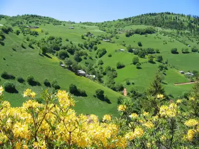
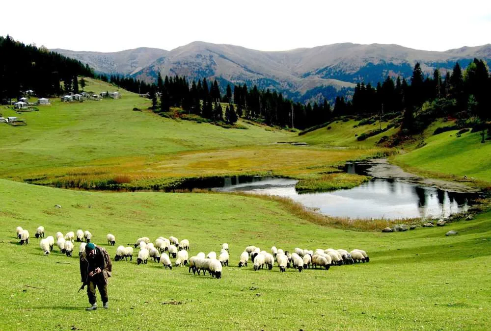
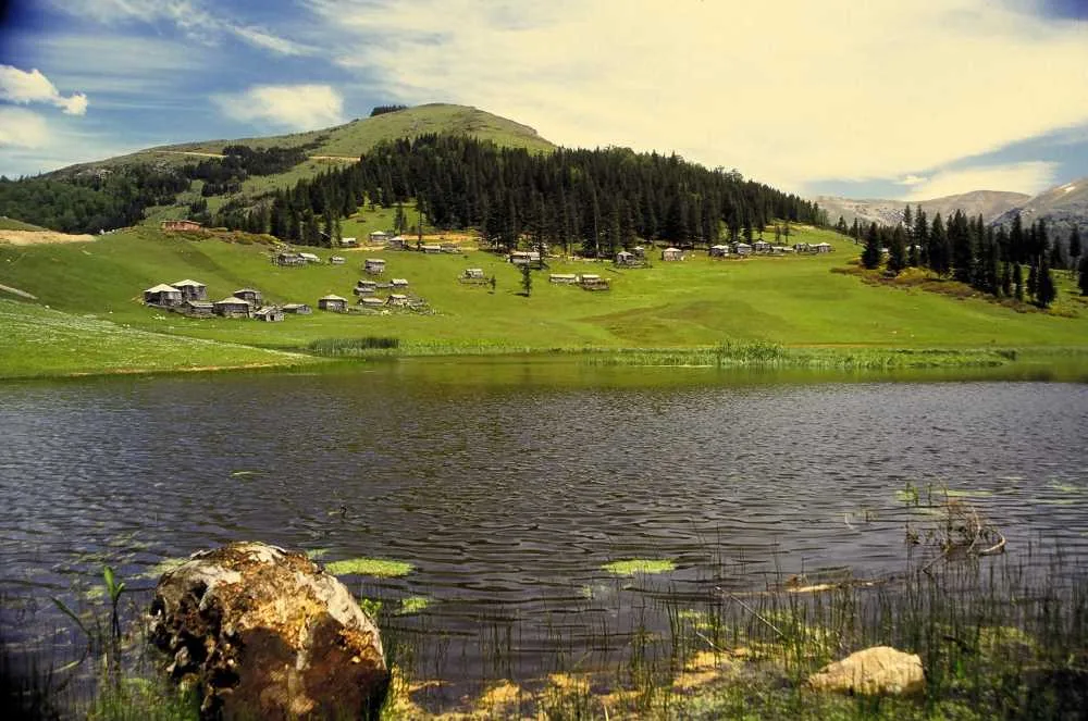
Gölyanı Obası Plateau is a highland area in Giresun, Türkiye, featuring a central lake surrounded by pine forests and traditional wooden houses, designated as a protected natural site with free entry.
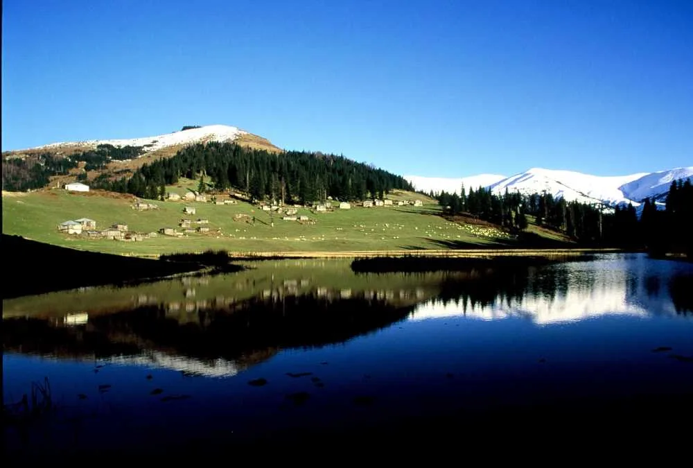
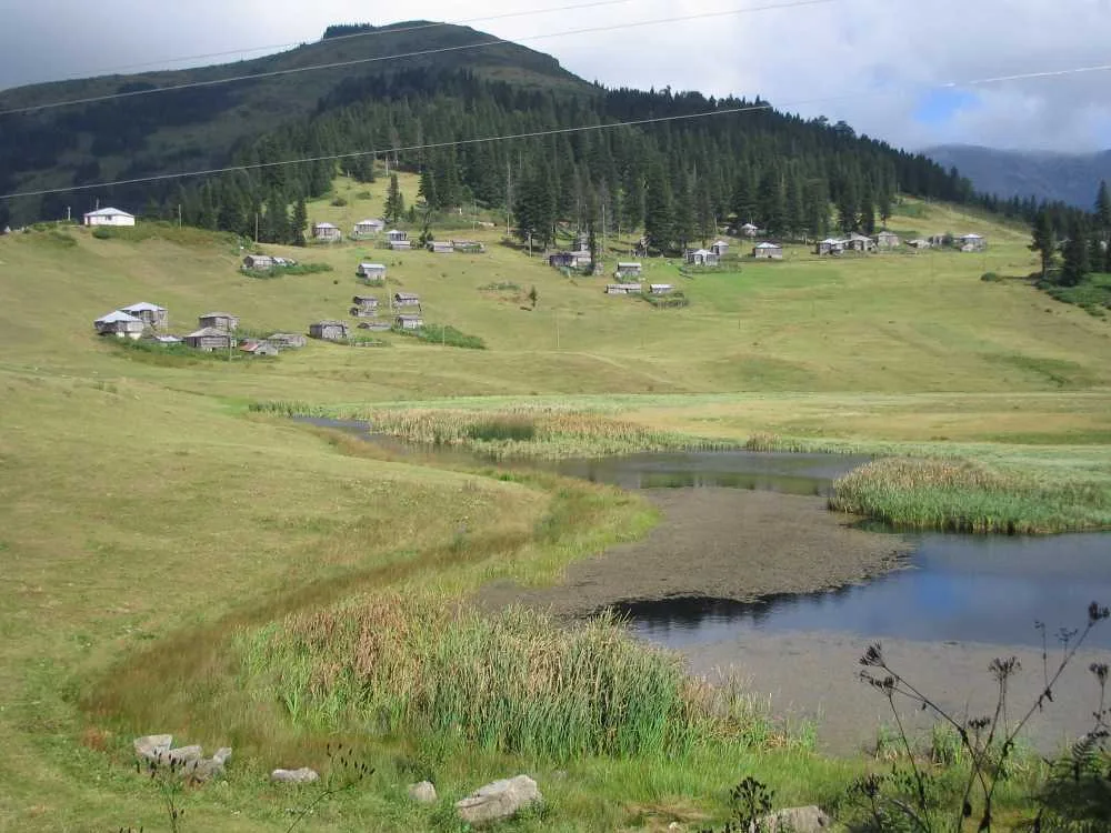
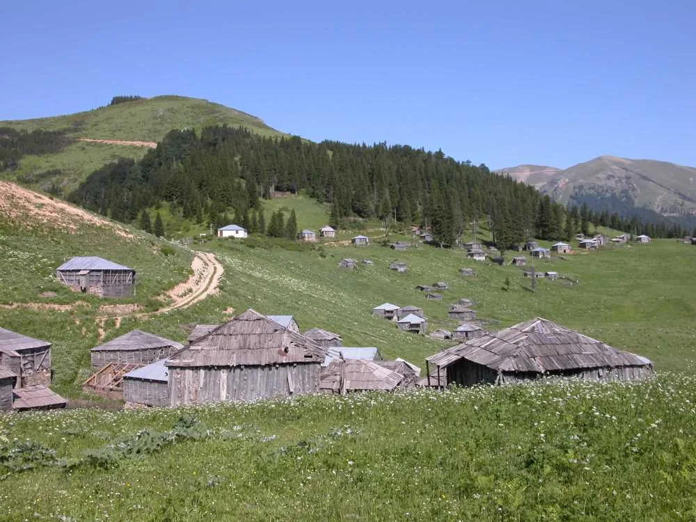
Gölyanı Obası is a highland plateau located within the borders of Derindere (Sınır) Village in the Yağlıdere district of Giresun, approximately 49 kilometers from the town center. It takes its name from the lake at its center. Covering an area of roughly 3,000 square meters in a natural basin, the lake is framed by pine forests and traditional wooden highland houses locally known as hartama. Designated as a 3rd Degree Natural Protected Area, concrete construction is strictly prohibited, keeping the region largely untouched.
Highland residents occupy the plateau between April and December, and the atmosphere becomes particularly lively during festival periods. A common observation in visitor reviews is the limited facility infrastructure: some travelers note issues with toilets and drinking water, adding that the lake occasionally requires cleaning. On the other hand, its unspoiled nature is universally praised, with many visitors finding the landscape more striking than expected. The mountain road leading up to the plateau is winding but paved with concrete, and overall road conditions are considered good.
Gölyanı is far less crowded than Giresun's better-known plateaus like Kümbet, Bektaş, and Kulakkaya. This offers both an advantage and a drawback: while it provides a tranquil nature escape away from crowds, visitors should arrive prepared without expecting self-sufficient dining or accommodation services.
Guide's Note
Best Time to Visit
The transhumance season runs from April to December, but the greenest and most vibrant period is between June and September. During these months, the lake's water is livelier and the surrounding flora is in full bloom. Visiting during festival days adds a lively social dimension. The region receives snowfall in winter; while transportation becomes challenging, it can be tackled as an experienced winter trekking route.
How to Get There
To reach the plateau from Giresun center, travel first to Yağlıdere district and then follow the road via Derindere (Sınır) Village for about 49 km. Although it is a winding mountain road, it is paved with concrete and reported by visitors to be in good condition. Driving your own vehicle is the most practical choice. As public transport is scarce, hiring a taxi or arranging a local guide from Yağlıdere are good alternatives.
How Much Time to Spend
A stay of 2-3 hours is sufficient to admire the lake and enjoy a short stroll around it. If you plan a longer trek—such as the moderate 14 km trail starting from Yağlıdere Valley—set aside half a day. Photography enthusiasts may want to revisit the shoreline at different hours to capture changing light conditions.
Suggested Route
The standard route begins in Yağlıdere town center and passes through Derindere Village up to the plateau. For hikers, a moderate 14 km route starting from Yağlıdere Valley and terminating at Gölyanı Obası follows snow-covered paths and dirt tracks, which is particularly popular during winter months.
Things to Keep in Mind
Infrastructure is minimal: visitors report difficulties with water and toilet facilities, and the pond occasionally needs cleaning. It is wise to bring your own food and refreshments. Due to its status as a protected natural area, please do not leave trash behind—a point frequently stressed in visitor reviews. Ensure you carry proper gear in winter as paths and roads may be covered in snow.
Best Photo Spots
Shots taken from the edge of the basin lake featuring traditional wooden hartama houses form the most iconic view of the plateau. Wide-angle shots capturing the pine forest surrounding the lake are also popular. Morning hours offer softer light and still, reflective waters.
General Information
Gölyanı Obası remains in the shadow of Giresun's better-known plateaus like Kümbet, Kulakkaya, and Bektaş, remaining undisturbed by mass tourism. This preserves its tranquility but means visitors must arrive prepared with fewer amenities. Holding a 4.7 rating based on 188 Google reviews, the plateau stands out for its serene, raw beauty.
This content originates from neresigezilir.com.tr and may not be copied without permission.
Gölyanı Obası Plateau Videos
Gölyanı Obası Plateau videos load when you open this section to keep the page fast.
Show videos
FAQ
Updated: