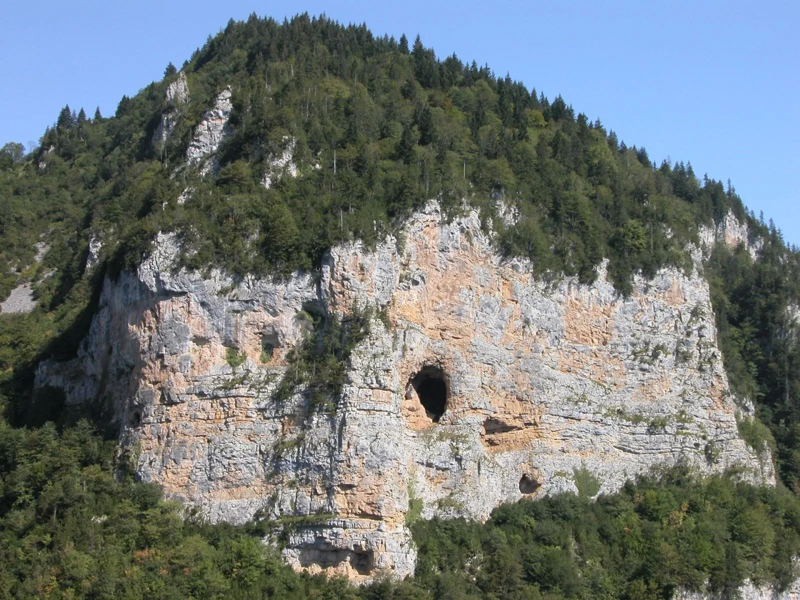
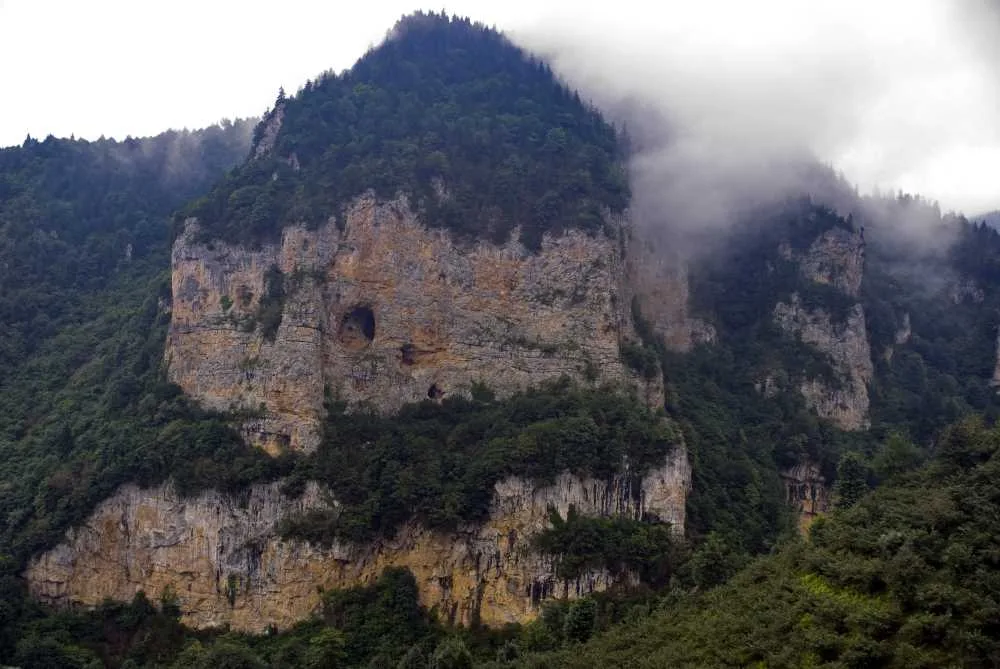
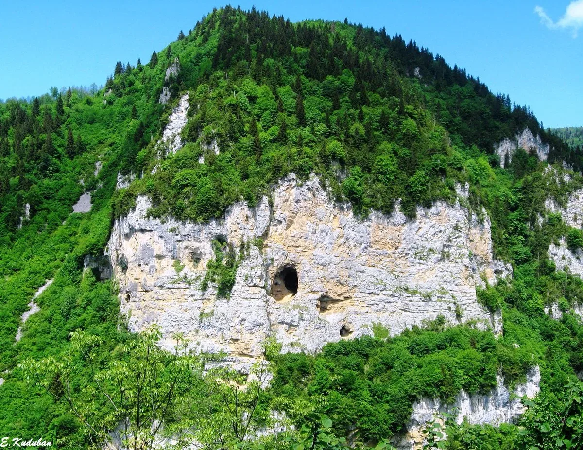
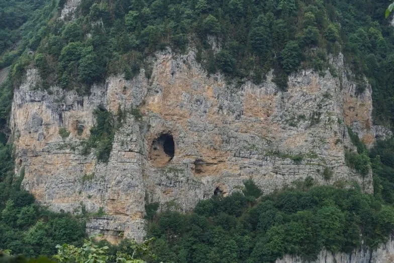
Şahin Kayası in Giresun, Türkiye, is a steep rock formation whose vegetation naturally outlines Turkey's borders, with a large cave at the center marking Ankara's location, protected since 2006.
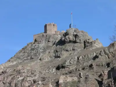
Şahin Kayası (Hawk Rock) is a steep and rugged rock rising in Armutdüzü Village, Karabulduk Town, Keşap district of Giresun. It takes its name from the structure of the rock, but what truly draws attention is the naturally formed vegetation and tree cover on it. This cover creates a surprisingly accurate image of the borders of Turkey.
Right in the middle of the map, at the point corresponding to Ankara's location, there is a large cave. There are also many other caves, big and small, on the rock. The natural formation's clear resemblance to the country's borders was the main reason for it being taken under protection and declared a First-Degree Natural Protected Area in 2006.
It is 50 kilometers away from Giresun city center. Since it is in a rugged terrain, check weather conditions and road status before going. The best angle to photograph it is from the hilly areas opposite the rock.
Guide's Note
What is Şahin Kayası?
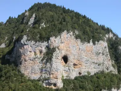
Şahin Kayası, a steep and rugged rock, is known for forming an image resembling the map of Turkey due to the natural shaping of the plants and trees growing on it. According to claims, the map perfectly matches the dimensions of the country's borders. Right in the middle, at the point corresponding to Ankara's location, there is a large cave. There are also many other caves, big and small, on the rock. Due to this unique formation, it was taken under protection and declared a First-Degree Natural Protected Area in 2006.
How to Get to Şahin Kayası?
It is located within the borders of Armutdüzü Village, Karabulduk Town, Keşap district, Giresun province. It is 50 kilometers away from Giresun city center. Going by your own car is the most comfortable option. It is also possible to reach by public transportation from Keşap district center, but since part of the road is within the village and mountainous terrain, driving saves time.
Best Time to Visit
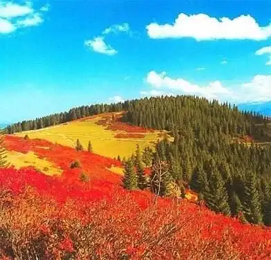
The period when the vegetation forms the map most clearly is during spring and summer months. In autumn, leaf fall, and in winter, snow cover can make the map's outlines invisible. Before you go, check seasonal conditions and the accessibility of the village road.
Good Spots for Photography
It is not possible to see the map as a whole from the immediate base of the rock. The real view emerges when looking from the opposite hills or from a slightly higher elevation. It is necessary to explore the surrounding high points before taking photos. Asking locals for the best viewpoint will make your job easier.
Things to Pay Attention To
The rock has a steep and rugged structure, so be careful when moving around it. Before entering the caves, make sure the ground is stable. As it is a protected natural site, be careful not to damage the vegetation.
How Much Time Should Be Allocated?
30-45 minutes is sufficient to see Şahin Kayası and take photos. Considering the distance traveled to the area, it is more logical to plan a half-day trip combining it with other natural and historical sites in Keşap district.
Other Stops in the Vicinity
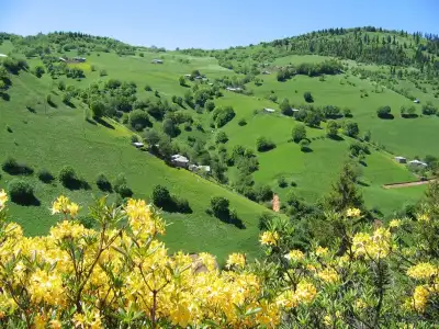
There are various natural spots in and around Keşap district. Combining your visit to Şahin Kayası with other sightseeing points in Keşap center will allow you to make the most of your day. You can also add plateaus and forest areas unique to the region to your itinerary.
This content originates from neresigezilir.com.tr and may not be copied without permission.
Şahin Kayası (Hawk Rock) Videos
Şahin Kayası (Hawk Rock) videos load when you open this section to keep the page fast.
Show videos
FAQ
Updated: