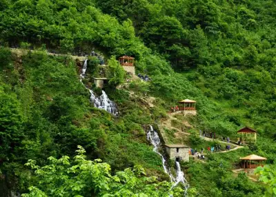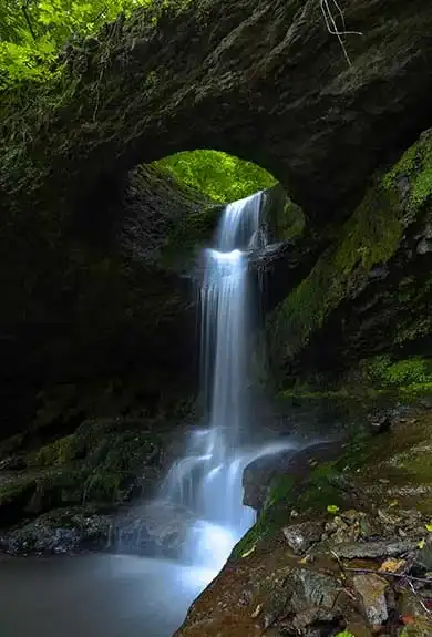
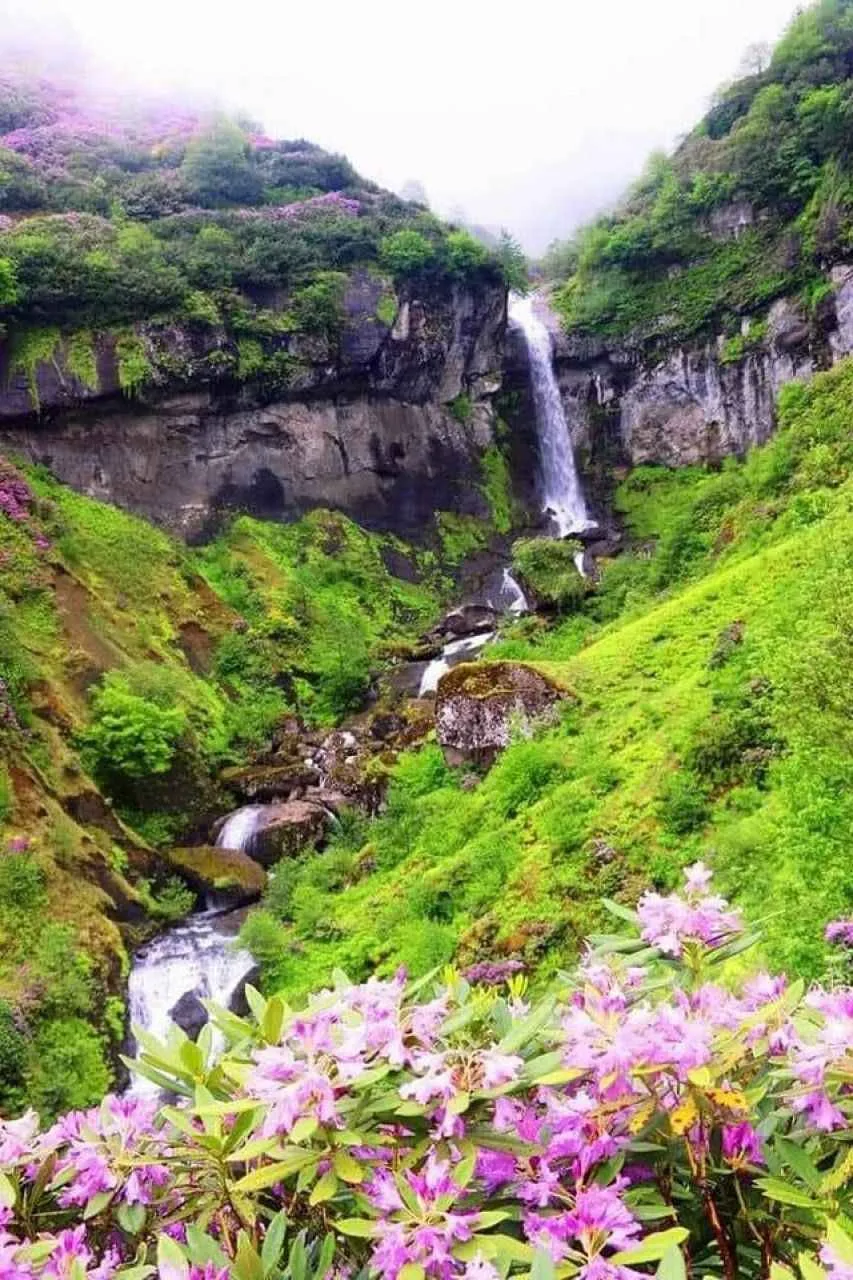
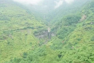
Paşaca Waterfall is a 40-meter cascade in Görele district, Giresun, Turkey, flowing along Paşaca Stream through protected nature park combining forest and rock ecosystems on Mount Sis's slope.
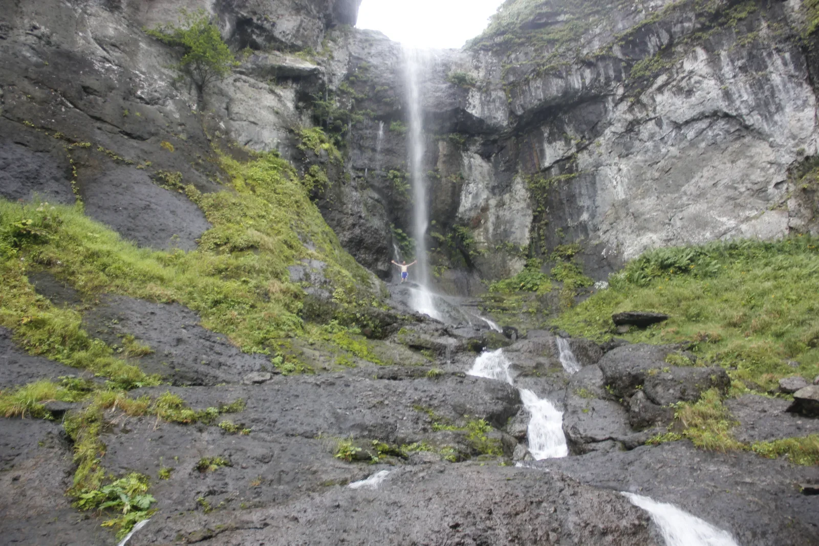
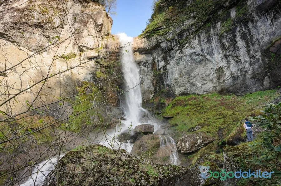
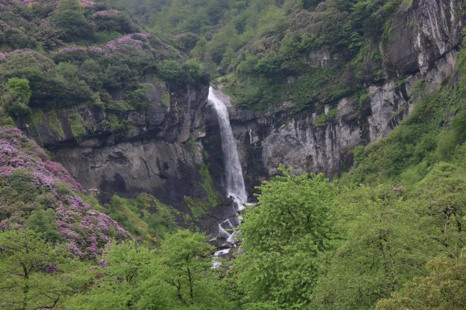
Paşaca Waterfall is located in the valley between the villages of Yeşildere and Beşirli in the Görele district of Giresun. Cascading from a height of approximately 40 meters along Paşaca Stream, it is also known locally as Çiftlik Waterfall. The area surrounding the waterfall is protected as Paşaca Nature Park—a region rich in flora and wildlife that combines forest, water, and rock ecosystems.
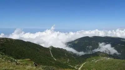
It sits on the slope of Mount Sis overlooking the Zıva Valley. Visitors often highlight that this area remains one of the quiet, uncrowded corners of Giresun with its pristine natural structure intact, offering small spots suitable for camping. However, experiences vary. Some travelers note that the trail can become slippery and dangerous, especially after rain, due to a lack of maintenance on the footpath. Consequently, it is not recommended for families with young children on rainy days.
Access to the waterfall is via village roads followed by a hike. Travelers mention that after driving from Görele to Zıva, continuing to Beşirli village and reaching the Kızancık neighborhood, the road ends for vehicles, requiring the final 1 kilometer to be covered on foot. This gives the trip an adventurous feel and keeps the site blissfully uncrowded.
Guide's Note
About Paşaca Waterfall
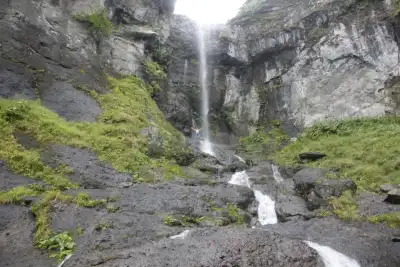
The waterfall is located on Paşaca Stream and cascades from a height of approximately 40 meters. Some local sources list this height as 50 meters, noting that its impressive free fall makes it one of the taller waterfalls in Türkiye. The area surrounding the waterfall was declared Paşaca Nature Park to safeguard its endangered natural forest-water-rock ecosystem.
How to Get There
Head from Görele district center toward Zıva, then continue to Beşirli village. Upon reaching the Kızancık neighborhood, the vehicular road ends. From this point, the final 1 kilometer to the waterfall is completed on foot. Public transportation to the area is limited, so traveling by private vehicle or with a local guide is more practical.
Best Time to Visit
Late spring and summer, when snowmelt feeds the stream, are the best times to see the waterfall at peak flow. Water levels can decrease in autumn. Avoid rainy days: visitors note that the trail becomes slippery and hazardous on wet ground.
Trail and Safety Notes
The most common warning in visitor reviews is the poor maintenance of the hiking trail. One visitor mentioned the path is dangerous and not recommended without proper maintenance. Another comment noted that the trail becomes slippery after rain and should be avoided with children. Sturdy footwear and careful stepping are essential.
Photography and Views
The cliff face down which the waterfall cascades and the surrounding dense forest offer striking photo opportunities, especially during spring when water flow is high. Photos taken from vantage points overlooking the valley also capture the slopes of Mount Sis.
What's Nearby?
In addition to Paşaca Waterfall, there are smaller waterfalls scattered throughout the region. Other natural highlights of Giresun, such as Kuzalan Waterfall and the nature parks in Dereli district, can be added to your itinerary. However, as these points are quite distant from one another, exploring them all in a single day can be challenging.
How Much Time to Spend?
A visit of 2-3 hours including the hike is sufficient. For those considering camping, overnight stays are possible in the area; the clearings along the stream serve as natural campsites.
This content originates from neresigezilir.com.tr and may not be copied without permission.
FAQ
Updated: