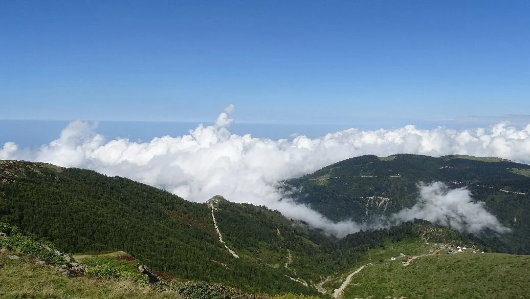
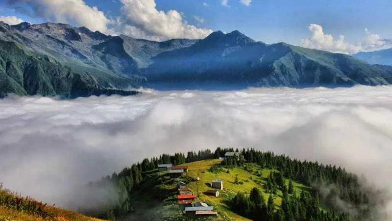
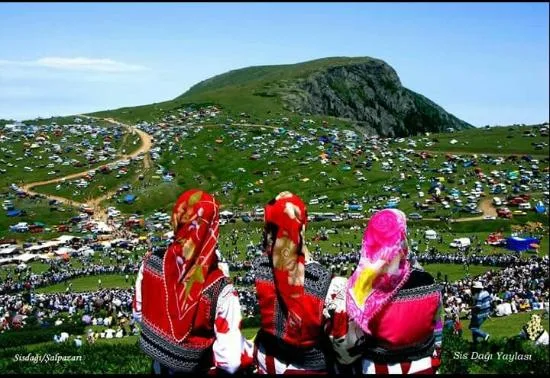
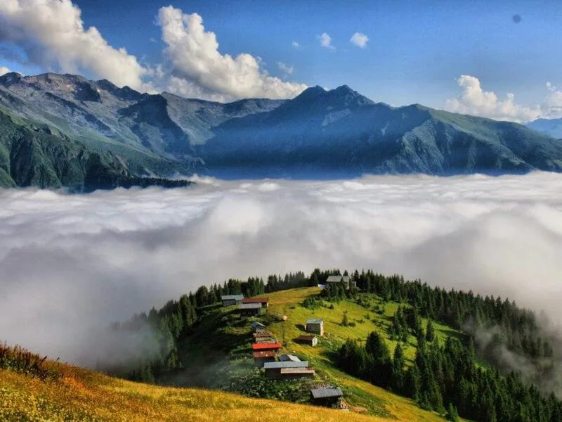
Sis Dağı Plateau is located in Giresun's Görele district, 2182 meters high and only 40 kilometers from the coast. While snow remains on the summit until July, the plateau is covered with yellow and purple flowers during the same period, making it possible to see both sea and snow views simultaneously.
Sis Dağı Plateau is one of the Black Sea plateaus closest to the coast. It stretches over Ali Meydan Mountain, 2,182 meters high, at the intersection of Trabzon and Giresun, within the borders of Giresun's Görele district. Despite being only 40 km inland from the coast, snow remains on the summit until early July. The sea below and the snow above can be seen simultaneously.
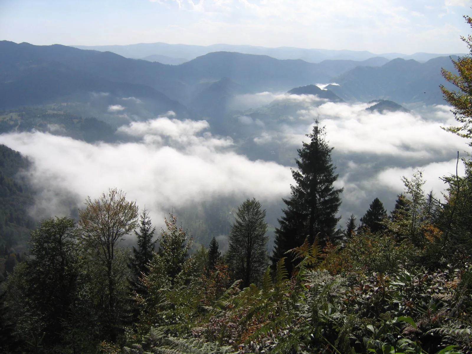
Declared a Tourism Center in 2011, the plateau has over twenty hamlets, each named after the surrounding villages and towns. In July, the plateau is covered with yellow and purple flowers, and various festivals are also organized during this period. Visitors note that the sunset viewed from points near the summit offers a patient but rewarding spectacle. Some, however, say that the weather is variable, with fog suddenly descending, and sunny weather can give way to dense fog on the same day. The temperature difference, dropping to 15 degrees Celsius at the summit while it's 30 degrees at market level, is also a frequently mentioned detail. Be sure to bring a jacket.
Most of the road is concrete and wide enough for two vehicles to pass comfortably, which makes access easier compared to other high plateaus. The plateau's meadow areas are wide and covered with grass; it is possible to reach different viewpoints by walking between the hamlets. It should also be added that some visitors have complained about the cleanliness around the small market at the summit. It would be good for the plateau if you carry your own trash when you visit.
Guide's Note
When to Visit Sis Dağı Plateau?
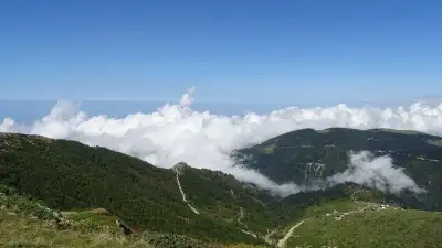
The most suitable period is between late June and September. Snow remains on the summit until early July, and during the same period, the plateau is covered with yellow and purple flowers. So, the chance to see snow and flowers simultaneously coincides with this month. Various plateau festivals are also organized in July. August and September are calmer months when the greenery deepens. The road may close in winter; if you plan to go during this period, it is advisable to inquire about road conditions beforehand.
How to Get There?
The shortest and most preferred route is via Görele. The plateau is reached by following approximately 37-40 km of mountain road from Görele district center. This road is largely concrete and wide enough for two vehicles to pass comfortably, thus offering a more comfortable drive compared to some other Black Sea plateaus. Alternatively, the plateau can also be accessed via Beşikdüzü and Çavuşlu. The total distance from Giresun city center is approximately 98 km, and from Trabzon, it is 93 km. If you don't have your own car, renting a car from Trabzon or Giresun is the most practical method; public transportation options are limited.
How Much Time Should You Allocate?
3-5 hours are sufficient to explore the plateau, walk in the meadow areas, and take photos. Those who want to see the sunset can plan to go in the afternoon and stay until evening. Visitors state that the sunset viewed from points near the summit is worth the wait. If you are considering nearby accommodation, staying one night in a plateau house and exploring again the next morning offers a different atmosphere.
Things to Know Before You Go
While temperatures on the coast approach 30 degrees Celsius, they can drop to 15 degrees at the summit; be sure to bring a sweater or jacket. The weather on the plateau is variable, and some visitors report not being able to see the view due to dense fog on the day they visited. This actually explains where the region's name comes from. Some visitors mention a problem with trash and cleanliness around the small market at the summit; carrying your own trash would be good for both the plateau and future visitors.
Best Spots for Photography
One of the highest points of the plateau is preferred for sunset; from there, both wide meadow areas and the distant mountain silhouette enter the frame. Areas where yellow and purple flowers bloom in July are also suitable for colorful photos. The period from late June to early July, when snow and flowers are seen together, offers a unique contrast to the region.
Other Stops in the Vicinity
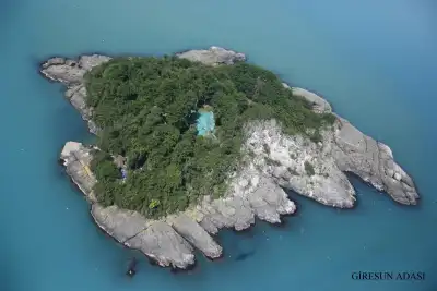
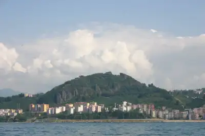
Sis Dağı is the highest peak of the Aladağlar mountain range, and there are other natural spots around it, such as Sandık Lake. While descending to Görele district center, it is possible to take a short break on the coastline and see the Black Sea view. While in the region, you can also add the castle and island in Giresun city center to your itinerary, which are about an hour's drive away.
Things to Know About the Plateau
Sis Dağı is also officially known as Ali Meydan Mountain and is an extension of the Eastern Black Sea mountain ranges. It is located within the borders of Giresun's Görele and Eynesil districts and Trabzon's Şalpazarı district, meaning it is a plateau commonly used by both Giresun and Trabzon residents. With its declaration as a Tourism Center in 2011, accommodation and infrastructure investments in the region increased. There are over twenty hamlets on the plateau, each bearing the name of its surrounding village or town.
This content originates from neresigezilir.com.tr and may not be copied without permission.
Sis Dağı Plateau Videos
Sis Dağı Plateau videos load when you open this section to keep the page fast.
Show videos
FAQ
Updated: