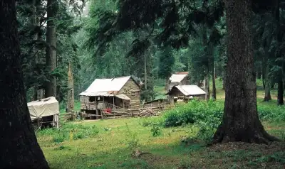
Düzce'nin Yaylaları, Kardüz'den Abant'a uzanan birbirine bağlı yayla zinciri olup Kocayayla, Balıklı ve Topuk Yaylaları'nı içerir; trans yolu ile aralarında 5-20 dakikalık bağlantı sağlanmıştır ve giriş ücretsizdir.
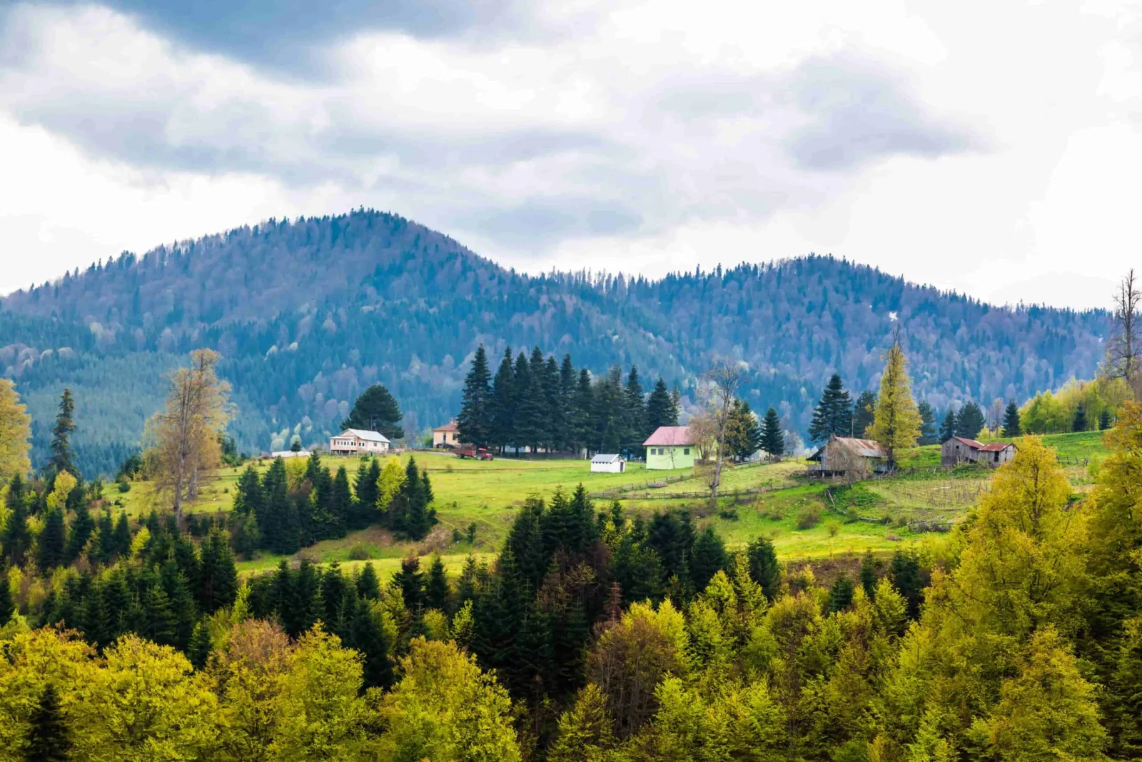
Düzce's plateaus are not a single point, but actually a connected chain. Along this line, stretching from Kardüz Plateau to Abant, names like Kocayayla, Kızık, Derebalık, Pürenli, Hera, Balıklı, Sinekli, and Odayeri are listed. Thanks to the transit road connection, moving from one to another takes 5 to 20 minutes, allowing you to see several plateaus in a single day's route.
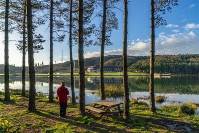
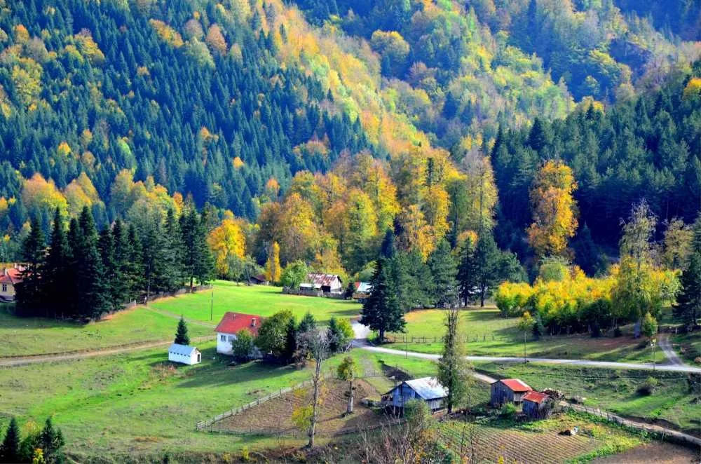
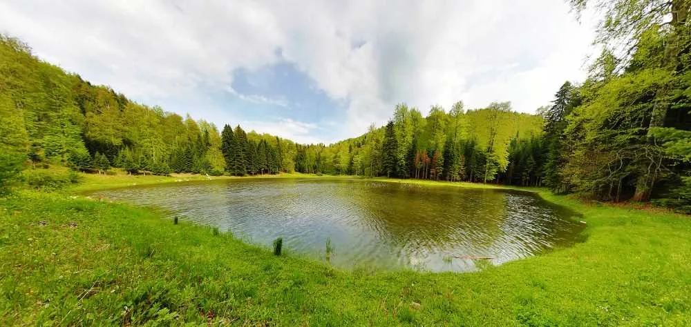
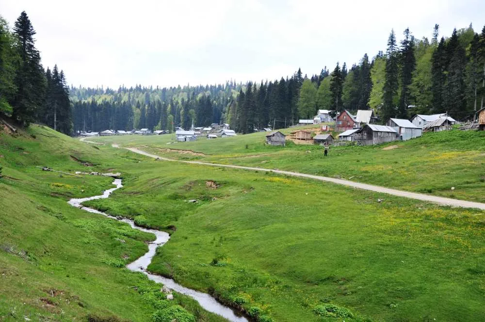
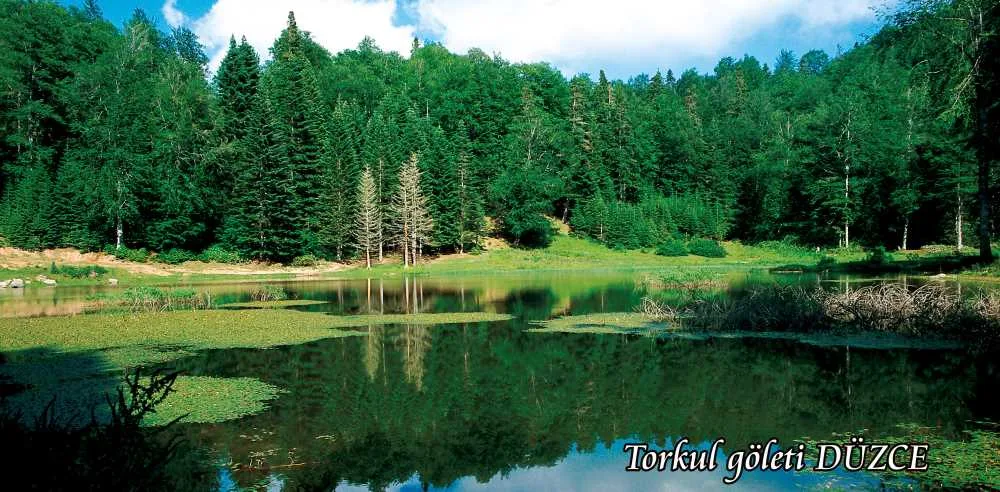
Kocayayla is approximately 30 km from Düzce city center and at an altitude of 1450 meters. Its wide, forest-surrounded plain is suitable for picnics, camping, and hiking; the nearby Aktaş and Samandere waterfalls and Gölyaka thermal springs are also on the same route. Most of the road is a dirt track, so be cautious when driving. Balıklı Plateau is located at the foothills of Elmacık Mountain, known for its camping areas and peaceful hiking routes. In winter, when it snows, it is also preferred for sledding and snowball fights. Topuk Plateau is 38 km from the center, standing out with its pond and diverse bird species.
The entire plateau system is open to activities such as nature walks, mountain biking, tent camping, caravanning, photo safaris, off-roading, and horseback riding. Fishing can be done in the ponds, and they provide a natural environment for camping. There are also areas where off-road races are occasionally held; if you want to follow these, check the announcements of the local tourism directorate.
Guide's Note
Best Time to Visit
The greenery of the plateaus is at its most vibrant between June and August. From late May to October, the weather is suitable for hiking and camping. Higher elevations like Balıklı Plateau get snow in winter, becoming a preferred area for sledding and snowball fights. In spring, roads can be muddy, so be careful, especially on dirt track sections.
How to Get to the Plateaus
Going by your own car is the most comfortable option. From Düzce city center, it takes approximately 30 km to Kocayayla and 38 km to Topuk Plateau. Thanks to the transit road connection, moving from one plateau to another takes between 5 and 20 minutes, making it easy to visit multiple plateaus on a single route. Public transport options are limited, so renting a car is advisable if you want to visit more than one plateau.
Suggested Route
You can start with Kocayayla in one day and then move to Pürenli or Kızık Plateau via the transit road. If you have more time, you can create a longer route starting from Kardüz Plateau and heading towards Abant. If you allocate two days, visiting Kocayayla and the surrounding Aktaş and Samandere waterfalls on the first day, and Balıklı or Topuk Plateau on the second day, makes for a balanced program.
How Many Days to Allocate
2-3 hours are enough to see a single plateau. But the real value of Düzce's plateaus lies in their interconnectedness. Therefore, allocating a full day and connecting 2-3 plateaus using the transit road is more fulfilling. If you plan to camp, staying overnight makes a difference in experiencing the morning and evening light.
Things to Pay Attention To
A large part of the road to Kocayayla is a dirt track. Drive slowly and carefully with your vehicle. Fog can suddenly descend on the plateaus in the afternoon, so it's good to plan your return time early. If you're camping, bring a stock of water and food, as the number of markets on the plateaus is limited.
Good Spots for Photography
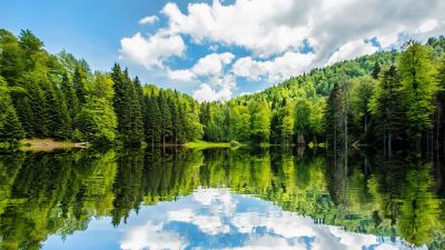
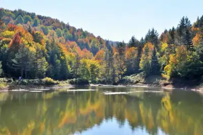
Kocayayla's wide plain, with the forest silhouette stretching in the background, is suitable for wide-angle shots. The pond at Topuk Plateau, if photographed before the morning mist dissipates, captures the reflection on the water. In winter, the snow-covered area at Balıklı Plateau offers a different frame.
General Information About the Plateaus
Düzce's plateaus are not a single attraction, but an interconnected system. The terrain, climate, and water resources make the region suitable for nature tourism. Kardüz, Kızık, Derebalık, Pürenli, Hera, Balıklı, Sinekli, Odayeri, and Kocayayla are the main stops on this route. Each retains its own character; some are preferred for camping, some for hiking, and others for winter sports.
This content originates from neresigezilir.com.tr and may not be copied without permission.
Düzce Plateaus Videos
Düzce Plateaus videos load when you open this section to keep the page fast.
Show videos
FAQ

Updated: