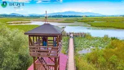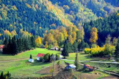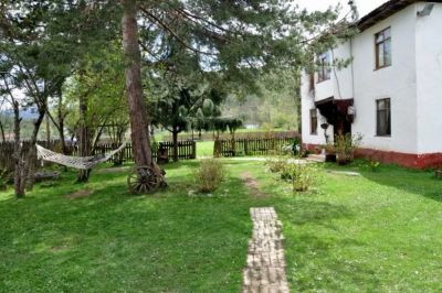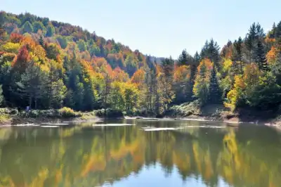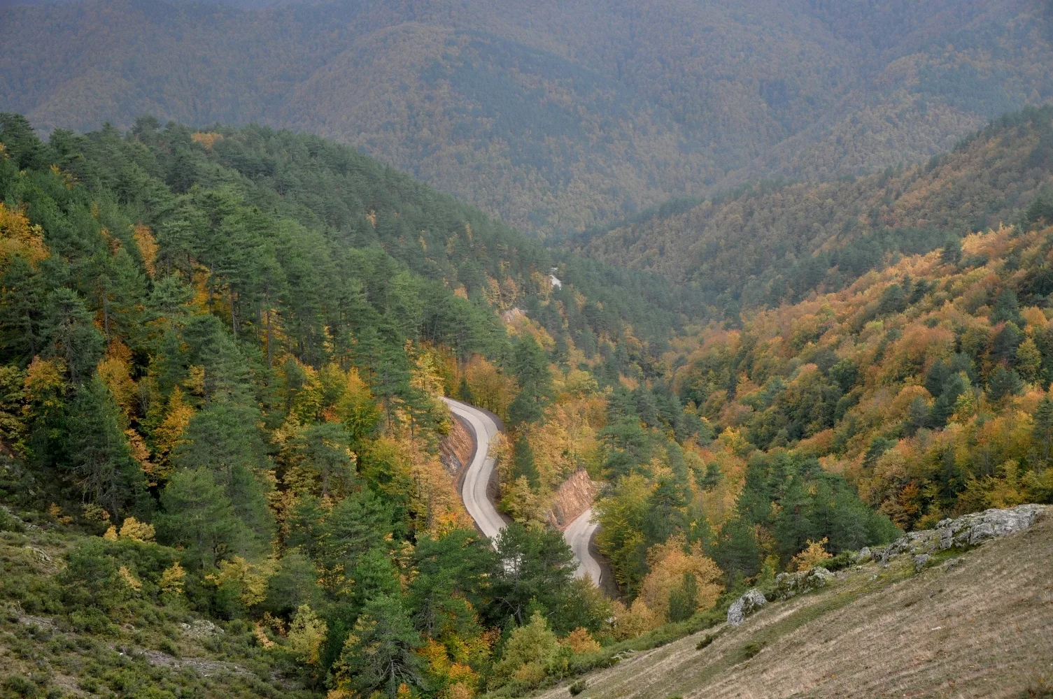
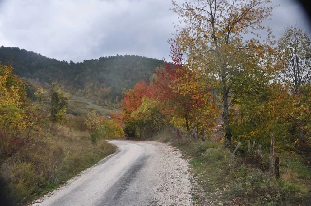
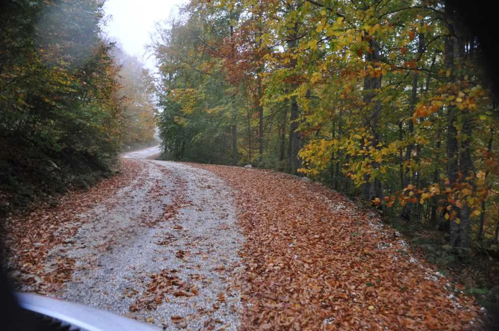
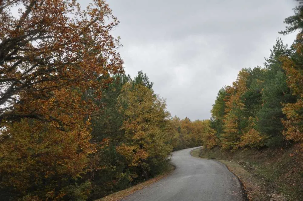
Yıldızlıca'dan Yedigöller'e Yol, Düzce'nin Yıldızlıca ilçesinden başlayıp Karakış, Mengen ve Yaylatepe köyleri üzerinden Yedigöller Milli Parkı'na ulaşan 35 kilometrelik asfalt yol ve yürüyüş rotasıdır; vadi manzaraları, orman dokusu ve dere sesinin eşlik ettiği, keskin virajlarla karakterize bir güzergahtır.
The road from Yigilca to Yedigöller holds a special place on Düzce's tourism map. This 35-kilometer route starting from Yigilca district center and passing through Karakas Village, Mengen Village, and Yaylatepe can be traveled both by vehicle and on foot. Along the way, there is a forested landscape mixed with hornbeam, oak, linden, ash, and pine trees. The route, which passes along the edge of the small Melen Valley, makes the sound of the stream a traveling companion.
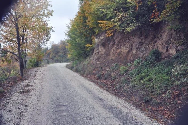
The road has sharp curves and runs along the edge of a valley. While visitor reviews praise the scenery of this route, they also frequently mention that it can be challenging for inexperienced drivers. Starting before dark, wanting to cross the valley before fog sets in, is an important detail. Especially during the hours when the sun sets behind the mountain, it is noted that fog can suddenly arrive. Those who travel during daylight hours in sunny weather say that the road does not cause problems for frequent vehicle users, and the real difficulty stems from the long distance and the route not being straight.
Yedigöller National Park, reached at the end of the road, gets its name from the seven lakes within it; the most well-known is Lake Gölcük. As you approach the park entrance, there is a 2-3 kilometer section paved with cobblestones, which reduces driving comfort. Other natural points of Yigilca such as honey forests, Hasanlar Dam, Saklikent, and Yoğunpelit Waterfalls are located around this route.
Guide's Note
How to Get to Yedigöller via Yigilca
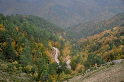
From Düzce center to Yigilca is 20 kilometers, and from Yigilca to Yedigöller is 35 kilometers. The road passes through Karakas Village, Mengen Village, and Yaylatepe. Since the Provincial Special Administration paved this route and placed directional signs, vehicle access has become easier compared to before. For those preferring to go via Bolu, the distance increases noticeably, which is why those coming from Istanbul and Ankara generally choose the Yigilca route.
The entire route has sharp curves and valley-edge driving. Visitor reviews emphasize that this aspect is both beautiful in terms of scenery and risky if traversed carelessly. Starting before dark, trying to finish the return journey in daylight, is recommended.
Hiking Trail: From Yigilca to Yedigöller
Those who want to go on foot rather than by vehicle can use the same route as a hiking trail. This 35-kilometer route starting from Yigilca and passing through Karakas, Mengen, and Yaylatepe villages is considered medium difficulty. There is a forest landscape mixed with hornbeam, oak, linden, ash, and pine trees. The trail runs through the small Melen Valley alongside the stream, over hills, and through villages.
Those in good condition, with long hiking experience, and developed navigation skills can use this trail all year round. For inexperienced hikers, it is safer to go with a guide or with an experienced group.
Things to Watch Out for on the Road
The most frequently repeated warning in visitor experiences is the fog descending into the valley as darkness falls. It is noted that shortly after the sun sets behind the mountain, visibility drops to nearly zero, and combined with sharp curves, this creates a serious risk. Those choosing the Bolu city center direction for the return journey may also encounter similar fog problems at Gurbettaşi Pass.
Those traveling during daylight hours and in good weather say that the road is not as difficult as sometimes overstated for frequent vehicle users. The real difficulty stems from the route not being straight and fatigue caused by the long distance. The 2-3 kilometer cobblestone-paved section approaching the park entrance also reduces driving comfort.
When to Visit
In summer months, you encounter mobile vendors selling corn, mushrooms, sausage-bread, and honey along the road; this indicates the season when the area is most lively. Spring flowers create a different appearance along the route. In autumn, forest colors change, and there are fewer crowds.
In winter months, due to fog and possible icing risks, travel should be planned more carefully. Going early on days when the weather is clear, and completing the return journey in daylight, is the safest option.
What to See at Yedigöller
Yedigöller National Park, which the road reaches, gets its name from the seven lakes within it; the most famous is Lake Gölcük. Within the park there are camping areas, picnic tables, a snack bar, and a small mosque. In visitor reviews, the dense mosquito population around the lakes and cleanliness deficiencies in some areas are frequently mentioned; wearing dark clothing is not recommended.
Some visitors note that the seven lakes look similar to each other and don't feel the need to visit again after seeing them once. Others say the natural texture and forest air are unique and should be seen at least once.
Budget and Practical Information
Entry to Yedigöller National Park by vehicle is reported to be 225 TL via HGS. Open fires and similar open flames are prohibited in the park; only dry picnicking is allowed. There are complaints about poorly maintained facilities such as toilets and lighting, so it may be helpful to bring supplies for basic needs.
It is recommended to verify current entry fees and rules from official sources (Bolu Forest Regional Directorate) before going.
This content originates from neresigezilir.com.tr and may not be copied without permission.
Road from Yigilca to Yedigöller Videos
Road from Yigilca to Yedigöller videos load when you open this section to keep the page fast.
Show videos
FAQ

Updated: