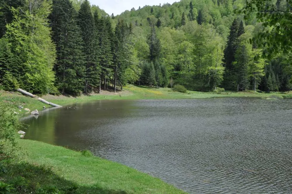
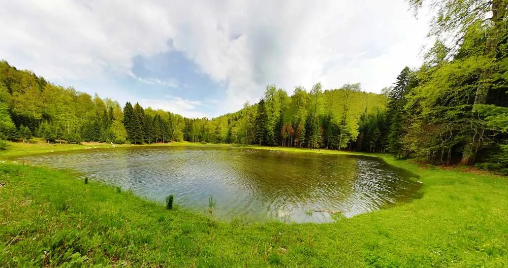
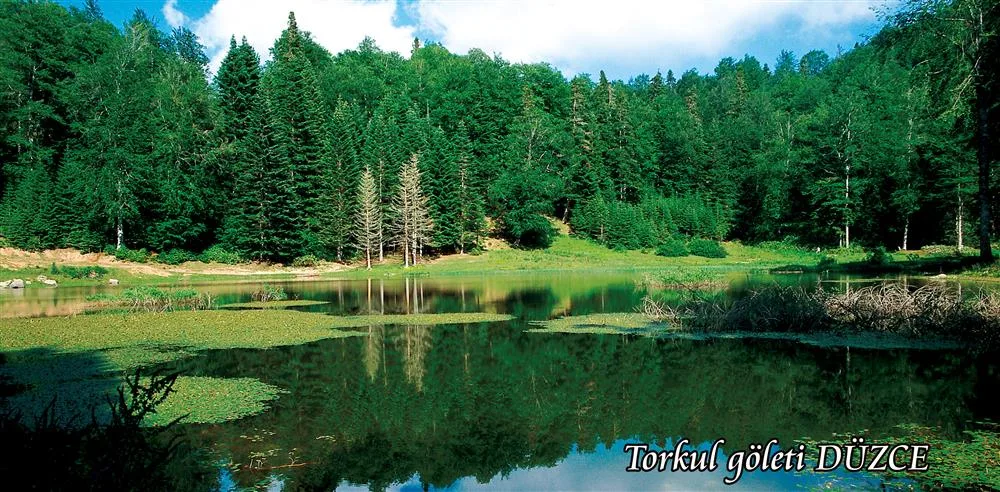
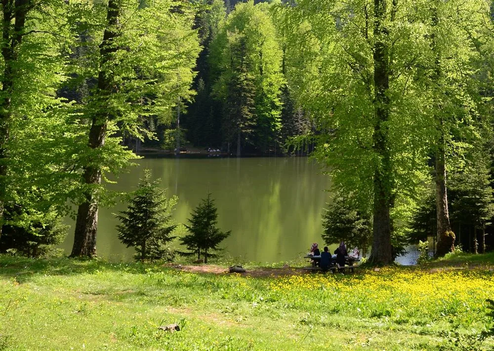
Torkul Pond is located within the Torkul Plateau, at an altitude of 1,251 meters, within the borders of Uğur Village, which is connected to Düzce city center. This natural pond, formed by a volcanic depression, has a water surface area of 5,000 square meters; the total plateau area surrounding it reaches 78,801 square meters. The distance to the city center is 34 kilometers.
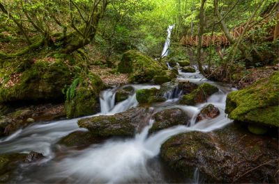
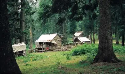
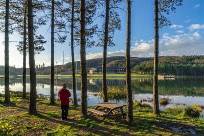
The beech, fir, hornbeam, chestnut, maple, and black pine forests surrounding the pond provide cool shade in the summer months. You can have a picnic by the water, fish, and take photos. There are also areas suitable for tent camping. The approximately 6-7 kilometer route between Torkul and Odayeri plateaus is a preferred route for trekking.
The road is winding. After exiting the Istanbul-Ankara highway, it takes approximately 90 minutes from Düzce city center. Although most of the road is asphalt, mud and puddles can be seen after rain; it is necessary to drive carefully in winter and rainy weather.
Guide's Note
When to Visit
May to October is the most suitable period to visit the pond. After the snowmelt is complete, the plateau weather shows itself in June-August: cool during the day, with temperatures dropping further in the evenings. In winter, snow and ice can mix on the road; if you plan to go, it's good to inquire about road conditions beforehand.
How to Get There
From Düzce city center, head towards Uğur Village and follow the Torkul Plateau signs. The distance is 34 km, but due to the winding road, it's not a short journey, taking approximately 90 minutes. Most of the road is asphalt, and all types of vehicles can go, but mud and puddles can occur in rainy weather. For those coming from Istanbul, the same route applies after the Düzce exit from the highway, with a total distance of approximately 250 km.
How Much Time to Allocate
3-5 hours are sufficient for a day trip picnic and a short walk. If you plan to trek to Odayeri Plateau or set up camp, you can extend your plan to one day, or two days if you're staying overnight.
Route Suggestion
Start with a short walk by the lake and take a photo break. Then, if you have time, you can head to the 6-7 km trekking trail that goes towards Odayeri Plateau. If you don't like walking, picnicking around the lake and returning early is also sensible. Since the road is winding on the way back as well, it's more comfortable to set off before dark.
Things to Consider
The road can get muddy after rain, and puddles can form in some sections. In winter, road closures due to snow can occur, so it's a good idea to inquire about road conditions before going during this period. There are no markets or shops in the area; if you plan to camp, you need to get your food, drinks, and necessary equipment from Düzce city center.
Photo Spots
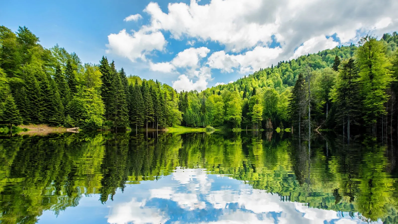
The reflection of the beech and fir forest surrounding the lake on the water surface is the most striking shot. In the morning, fog can hang over the lake, providing a different atmosphere for photography. For those who want to capture a panoramic view of the plateau, the hilly areas slightly above the lake are also preferred.
General Information About the Region
Torkul Pond is one of the natural lakes formed by a volcanic depression. The total plateau area is 78,801 square meters, and the lake itself has a water surface area of approximately 5,000 square meters. The region is one of Düzce's plateaus that distinctly experiences all four seasons; the vegetation takes on a different appearance each season.
This content originates from neresigezilir.com.tr and may not be copied without permission.
Torkul Pond Videos
Torkul Pond videos load when you open this section to keep the page fast.
Show videos
FAQ
Updated: