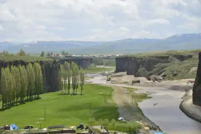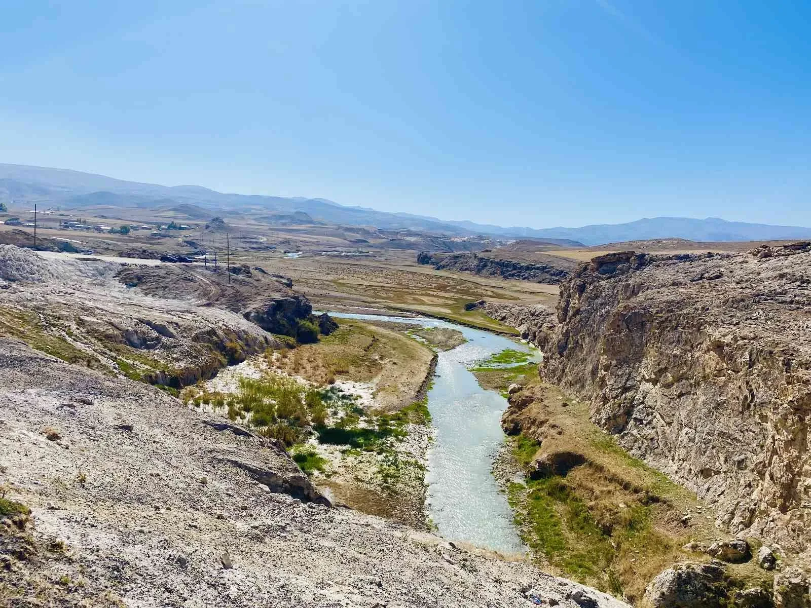
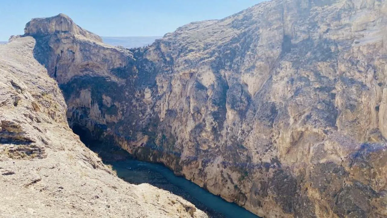
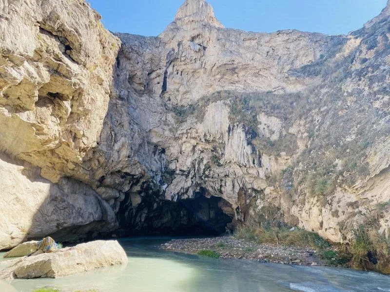
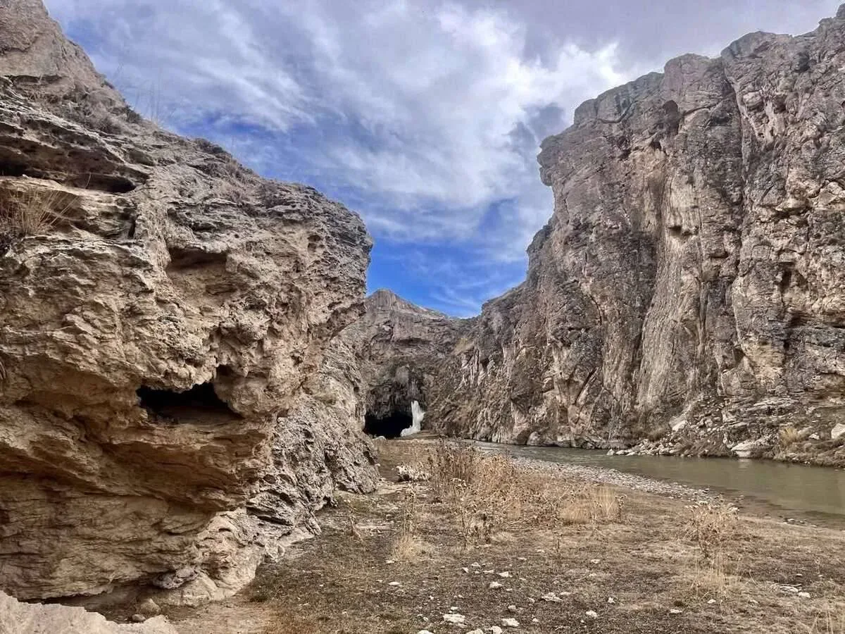
Kudret Bridge is a natural bridge, 30 meters high and 30 meters wide, formed by the Murat River carving through rocks for thousands of years in the Diyadin district of Ağrı; a second natural bridge is located nearby.
Kudret Bridge is a natural formation shaped by the Murat River carving through rocks for thousands of years. It is not man-made, but a bridge born from the stone's inability to resist water. It is 30 meters high and 30 meters wide; after a gap of approximately 150 meters, a second natural bridge appears. It is referred to as a rare geological structure in Turkey.
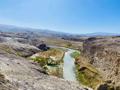
Evliya Çelebi mentioned it as Germ'ab-ı İbretnüma in his Seyahatname (Book of Travels). The name is not a coincidence: the hot springs in the vicinity indicate that the region has been an ancient thermal spa route. Diyadin Hot Springs are also nearby, along the same valley line. It is possible to walk over the rocks and get a bird's-eye view of the surrounding valley and river.
For those who want to create a unique nature route in Diyadin, Kudret Bridge can be planned as a stop along with Diyadin Canyon. The region is surrounded by green valleys and rock formations; it is not a crowded tourist spot, but rather a local discovery point.
Guide's Note
When to Visit
Since the region is at a high altitude, winter months can be challenging, and roads may occasionally close. The period from late April to October is when the valley appears green and access is easier. Mid-summer can be hot; going early in the morning is more comfortable for walking.
How to Get There
From Ağrı city center, you descend to Diyadin district by road, and from there, access to the bridge is provided by private vehicle. Since a section of the road can be unpaved, it might be difficult to go with low-clearance vehicles. Public transportation options are limited, so going by rental car or with a local guide makes things easier.
How Much Time to Allocate
1-2 hours are sufficient to explore the bridge itself. However, for those who want to visit Diyadin Hot Springs or hike in Diyadin Canyon, it makes more sense to allocate a full day, or even half a day. Those who want to explore Ağrı in general can include the region in a 3-5 day travel plan.
Suggested Route
Starting from Diyadin town center and first going to Kudret Bridge, then to the nearby Diyadin Hot Springs, is a logical sequence. If time permits, Diyadin Canyon can also be added to the route on the same day; all three are located close to each other, forming a nature tour that can be completed in a single day.
Photography Spots
Shots taken from the gap between the two natural bridges show the depth of the valley. Angles looking down to the canyon floor where the river flows are also preferred. In the hours before noon, the angle of the light hitting the rocks appears clearer.
Things to Pay Attention To
Since the bridge is a natural formation, standard precautions such as railings or safety barriers should not be expected. When walking on rocky terrain, sturdy shoes should be preferred to prevent slipping. As road conditions can be poor, it is advisable to check your vehicle's tires and fuel beforehand.
About the Region
Kudret Bridge is part of Diyadin's geography, known for its hot springs and canyons. The name Germ'ab-ı İbretnüma, mentioned in Evliya Çelebi's Seyahatname, indicates that the region has been a remarkable natural spot for centuries. It is a suitable stop for those seeking a peaceful nature trip away from crowded tours.
This content originates from neresigezilir.com.tr and may not be copied without permission.
FAQ

Updated: