Tavium, Yozgat'ın batısındaki Büyüknefes Köyü'nde yer alan, Galatların Trokme koluyla MÖ 280'lerde kurulan antik yerleşim; Hitit ve Kalkolitik dönem izleri taşıyan höyükler, seramik parçaları ve mimari kalıntılarla tanınır.
Tavium stands within the boundaries of Buyuknefes Village, 40 kilometers away from Yozgat city center. The city's origins trace back to the 4th millennium BCE, the Chalcolithic Age. Its actual growth occurred between the 3rd and 1st centuries BCE, with the Trokme branch of the Galatian people coming from the Balkans. The Trokmi made this place the trade center and capital of the Middle Kizilirmak region. The city's name itself derives from the Hittite word Tawinija. The land thus became acquainted with the Hittites before its modern name.
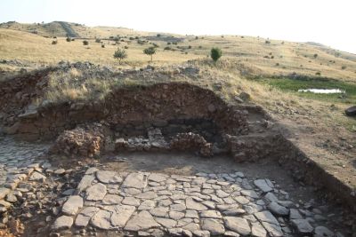
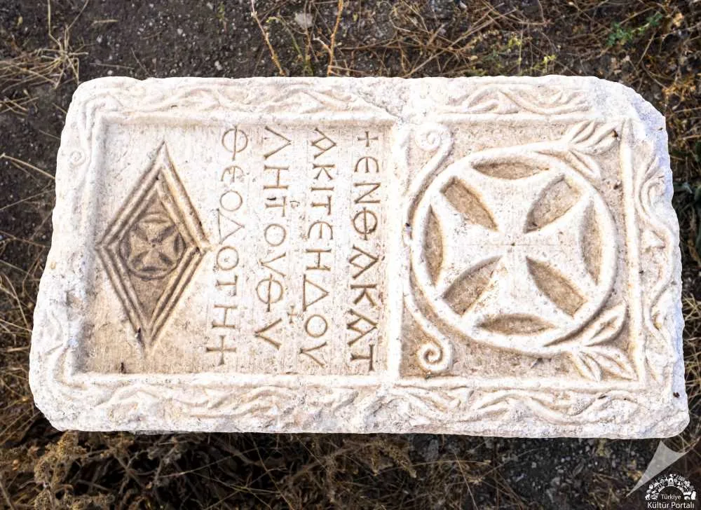
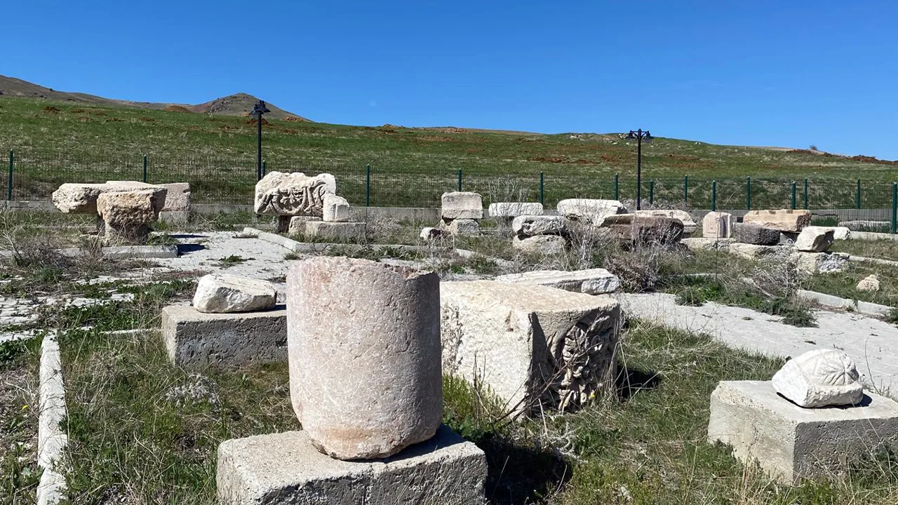
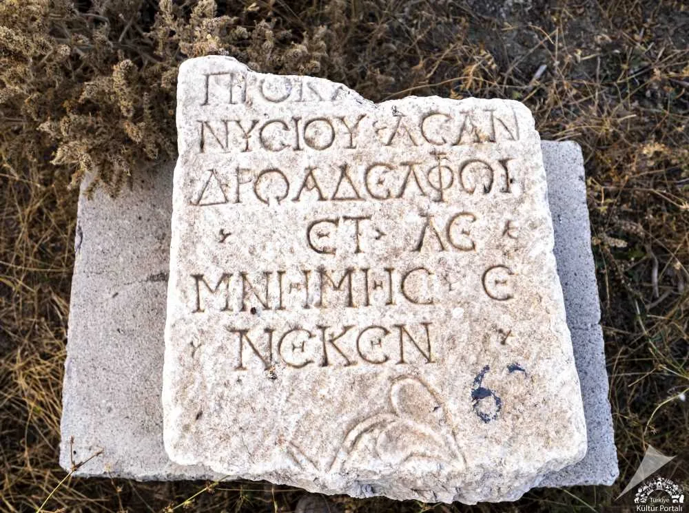
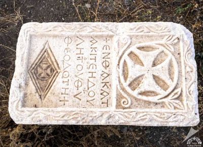
In surface surveys conducted since 1997, ceramic pieces, column bases and drums, grave stelae, a grave with inscriptions from the Byzantine period, and numerous architectural fragments were uncovered. Examples of bowl pottery from the Great Fortress's west side show population increase in the Early Bronze Age. The cultural layers in the Small Fortress were abandoned during the Roman period. The area is registered as 1st and 2nd degree archaeological site by decisions of the Kayseri Cultural and Natural Heritage Protection Board. Nearly 280 mounds, ancient settlement traces, and rock-cut monuments lie within these boundaries.
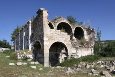
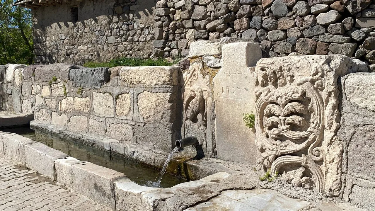
After the 19th century, the cutting of stones for building materials in surrounding villages greatly erased the architectural traces on the surface. The landscape you see today is less about magnificent ruins and more about an archaeological layer scattered among fields and mounds. Excavation work continues, so the area may show variations from time to time.
Guide's Note
What is Tavium, who founded it?
Tavium was founded by the Trokme branch of the Galatian people who came to Anatolia from the Balkans around 280 BCE. The history of the land, however, is much older: it traces back to the 4th millennium BCE, the Chalcolithic Age. It is thought that during the Hittite period the place was called Tawinija, and the city's modern name comes from there. During the Galatian period, Tavium became the trade center and capital of the Middle Kizilirmak region.
What season is suitable for visiting?
Since it is an open archaeological site, spring and autumn are the most comfortable seasons. In summer months, wandering around the mounds under the intense Anatolian sun can be tiring, and in winter the dirt roads become muddy. Morning hours are more convenient both in terms of light and heat.
How to reach Buyuknefes Village?
There is approximately 40 kilometers from Yozgat center to Buyuknefes Village. The most practical way is to go with your own vehicle; village roads can be narrow so careful driving is necessary. If you will go by public transport, you need to find out the village minibus schedules in advance from Yozgat bus station, as these routes change frequently.
How much time should you allocate?
Tavium is not a ruins site with magnificent columns or standing structures. It is an archaeological fabric that gains meaning through mounds, rock-cut monuments, and architectural pieces scattered on the surface. A 1-2 hour visit is sufficient for most visitors. If you add the museum in Yozgat center to your program, the day becomes full of history-themed activities.
How to connect with the surroundings?
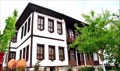
It makes sense to combine Tavium with a museum visit in Yozgat center; some of the ceramic, grave stelae, and inscribed pieces found in the area may be displayed in the museum. Since Yozgat Camligi National Park is also close to the city, it is possible to add a nature break within the same day.
Things you should know before visiting
The area has 1st and 2nd degree archaeological site status and much of it is privately owned. For this reason, free access to some areas may not be possible, and access may be restricted during ongoing excavation work. It is best to call Yozgat Museum Directorate before your visit and ask about current conditions.
Where to look for photography?
The elevations where the Great Fortress and Small Fortress mounds are located offer a wide panorama together with the surrounding farmland. As much as the remains themselves, the rural fabric around the mounds is also visually interesting; especially in hours near sunset, the light makes the color of the soil prominent.
This content originates from neresigezilir.com.tr and may not be copied without permission.
FAQ

Updated: