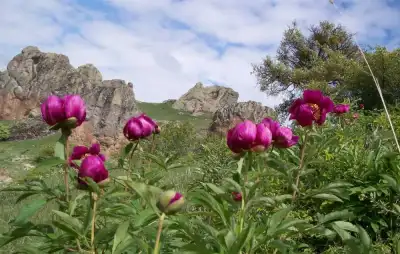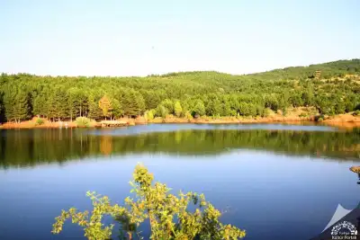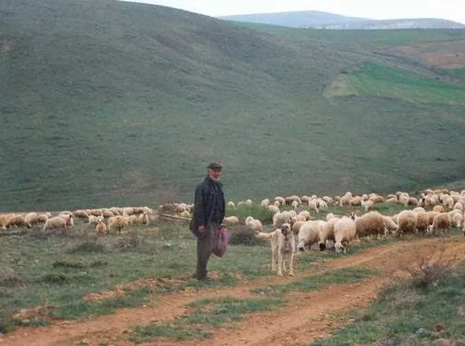
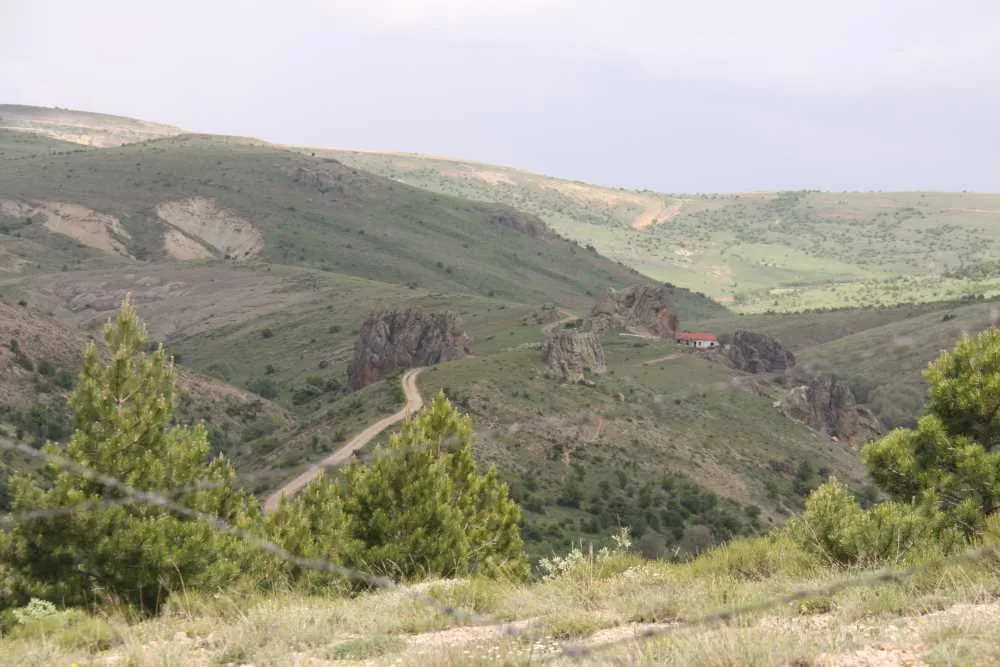
Bozok Plateau is a vast highland region in Yozgat, Türkiye, with elevations between 1,200–1,400 meters, featuring gently rolling plains and valleys within the Kızılırmak River bend, with free access to open land and village areas.
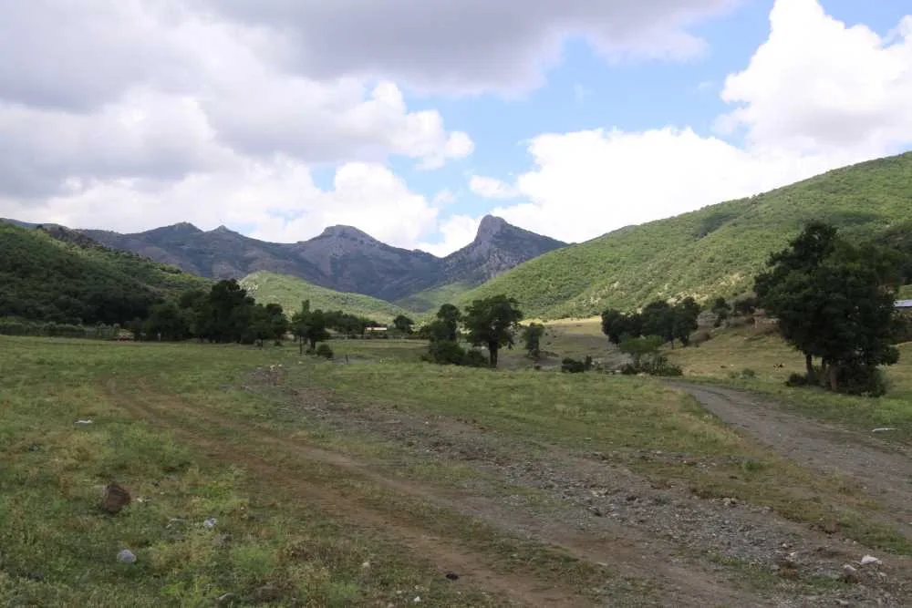
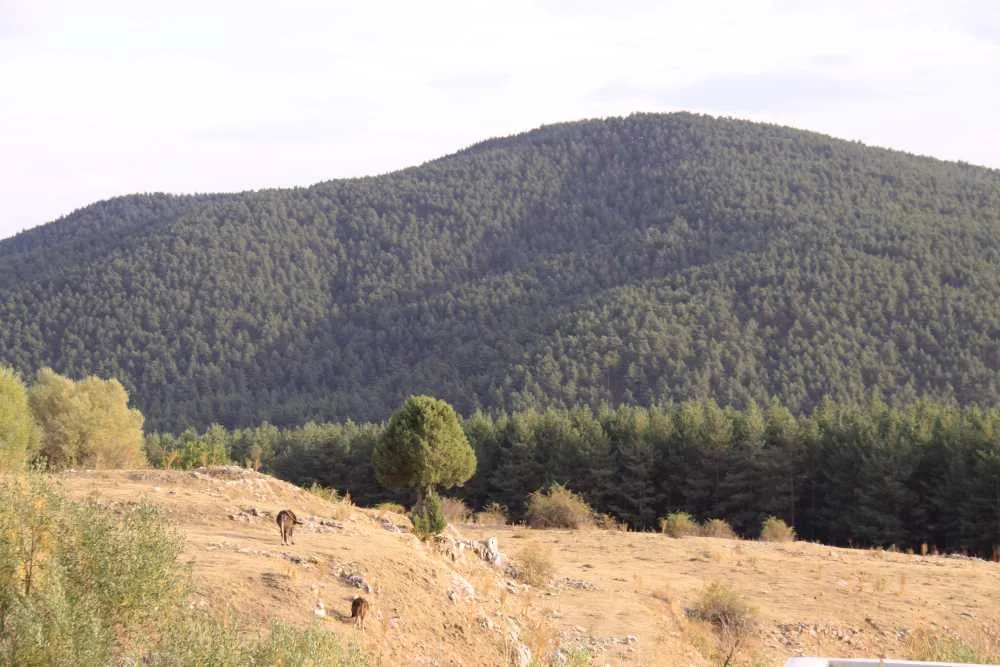
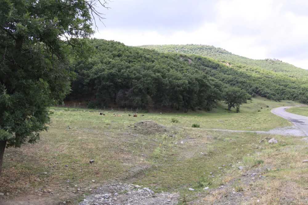
Bozok Plateau is not a single point. This is the name of a vast plateau covering a large part of Yozgat province. It lies within the bend of the Kızılırmak River, consisting of gently undulating plains occasionally cut by valleys descending to the Delice River and Çorum Stream. To the east, it leans against the Akdağlar mountains; in the northeast, the branches of Deveci Mountain disappear among the plains; in the southwest, low mountains reappear towards Kırşehir.
The altitude varies between 1200-1400 meters, descending northwestward to below 800 meters, down to the Kızılırmak flood plain. The term "plateau" is actually an umbrella concept: Cehirlik Plateau, Kadıpınarı, Şebekpınarı, Yahyasaray (Sırıklı) Plateau, and Hisarbeyli Plateau, known for its yogurt, are settlements within this vast plateau that can be visited separately.
Instead of going here as a "single plateau visit," it is more appropriate to consider the region as a route. You can plan a day trip into nature by leaving Yozgat city center and stopping at one of these villages, for example, Hisarbeyli.
Guide's Note
What is Bozok Plateau?
A large part of Yozgat's territory is geographically referred to as "Bozok Plateau." This is a vast plateau in the eastern part of Central Anatolia, within the bend of the Kızılırmak River. It is not a single valley or hill, but a region consisting of undulating plains, occasionally cut by valleys flowing into the Delice River and Çorum Stream.
When to Visit?
Since the altitude is between 1200-1400 meters, winter months are cold and snowy. May-September is the period when the plateau is green and open. During these months, road conditions are easier, and plateau life in the villages is vibrant.
How to Get There?
Since Bozok Plateau is not a single point, you first need to decide which sub-plateau you are targeting. Hisarbeyli, Cehirlik, Kadıpınarı, Şebekpınarı, and Yahyasaray (Sırıklı) are well-known settlements within this vast plateau. Access is provided by road from Yozgat city center; going by your own vehicle is much more flexible than public transport.
Route Suggestion
Hisarbeyli Plateau, known for its yogurt, is one of the most famous stops in the region. If you are planning a day trip, leaving Yozgat city center and stopping at Hisarbeyli, then passing through a nearby settlement like Cehirlik or Kadıpınarı on the way back, makes for a logical itinerary.
How Much Time Should You Allocate?
Visiting a single sub-plateau is enough for half a day. For those who want to visit several villages, this can extend to a full day. If you plan to stay overnight, using Yozgat city center as a base is practical.
Things to Consider
The region is not a tourist facility with clear boundaries, but a vast geographical area. Therefore, instead of saying "I'm going to Bozok Plateau," specifying the village or sub-plateau you intend to visit will make things easier. It is recommended to get an updated route from a map application for road information and distances.
Good Spots for Photography
Undulating plains and distant mountain silhouettes (Akdağlar, branches of Deveci Mountain) are suitable for wide-angle shots. Open areas at the entrance of plateau villages receive good light, especially near sunset.
This content originates from neresigezilir.com.tr and may not be copied without permission.
FAQ

Updated: