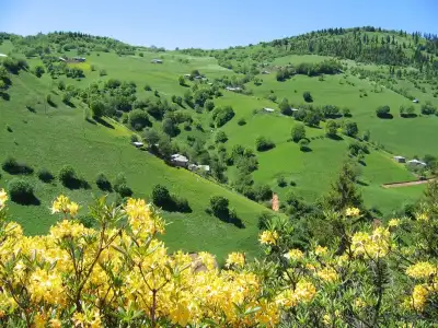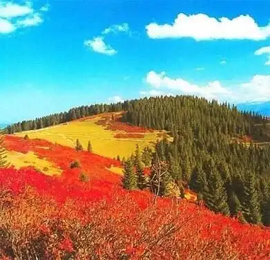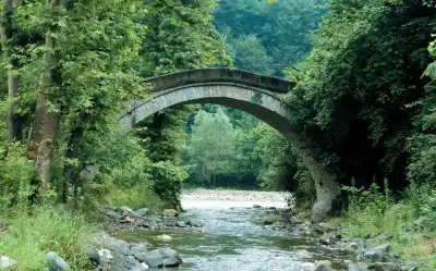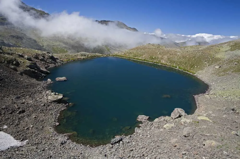
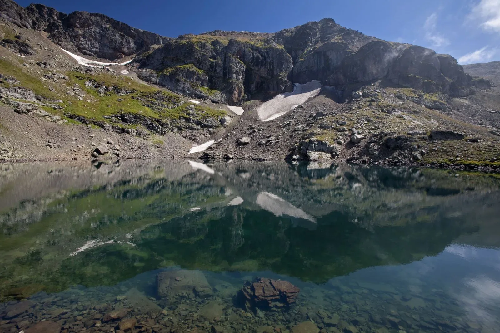
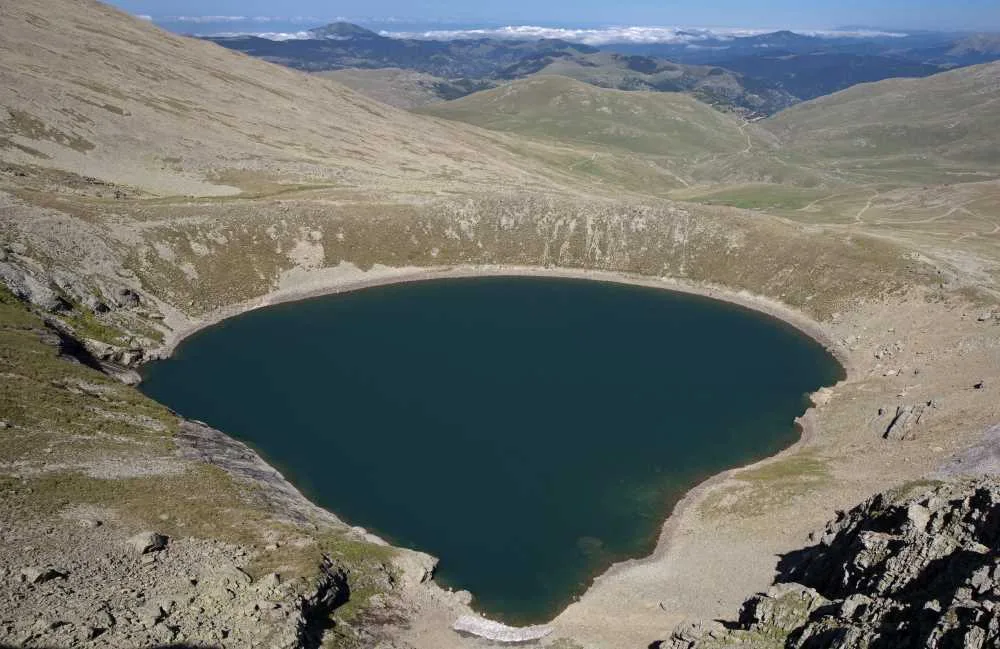
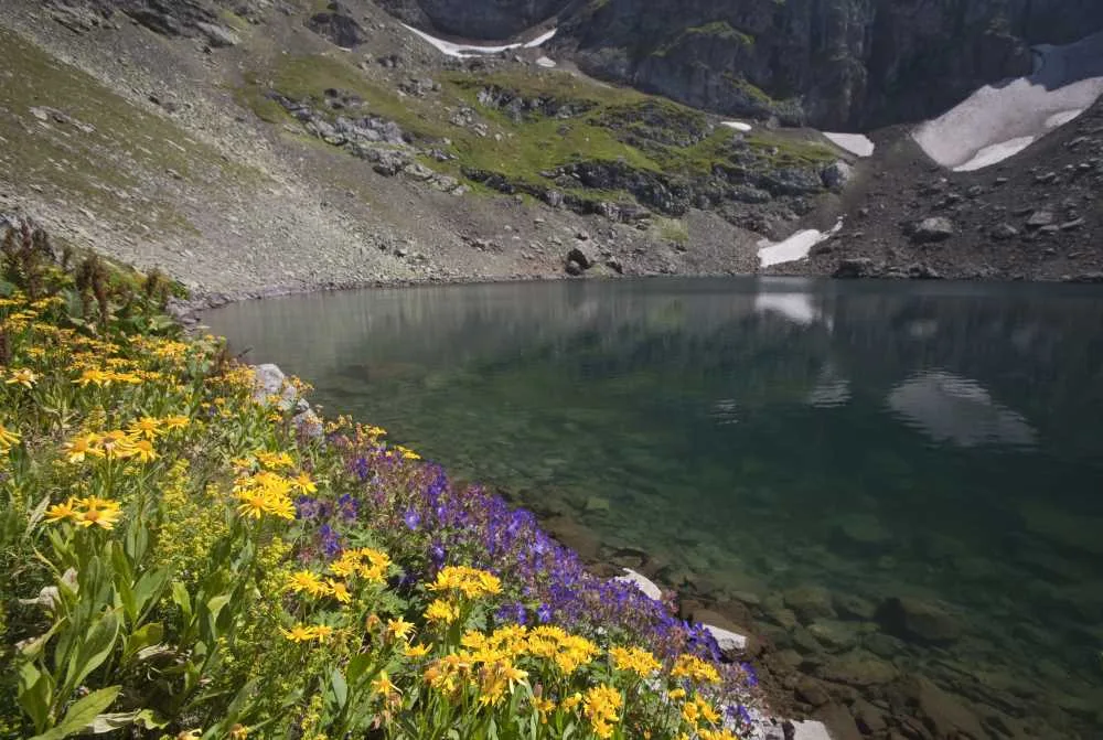
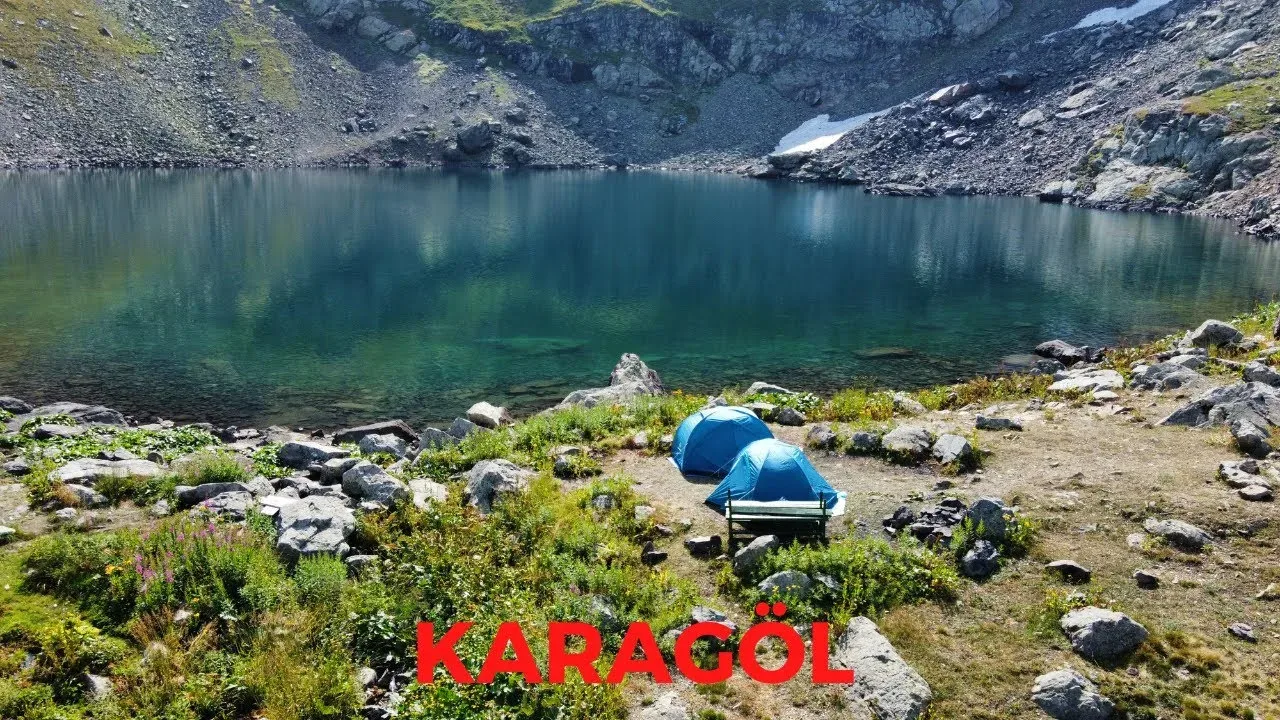
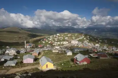
Karagöl Plateaus is a free group of plateaus established around glacial lakes at the foot of the 3,107-meter Karagöl Mountains, near the borders of Ordu and Sivas, in Giresun's Dereli district; preferred for hiking and mountain air.
Karagöl Plateaus are located at the southernmost tip of the Dereli and Bulancak districts, at the junction of the provincial borders of Ordu, Giresun, and Sivas. It takes its name from Karagöl, a cirque (glacial) lake in the region. There are other glacial lakes around it, such as Camlı Göl, Aygır Gölü, Bağırsak Gölü, and Sağrak Gölü. The Karagöl Mountains reach 3,107 meters; this makes the plateau the second largest mountain mass in Giresun after the Alucra Mountains.
In the region, which stands out as a hiking route in the summer months, the July festival calendar is busy. The Sağrak Göl Plateau Festival and Aksu Village Karagöl Keşkek Day are among the events where locals and visitors gather. Cold spring waters and high-altitude air make the region attractive for those looking to cool off during hot summer months.
The plateau, which has a 4.8 rating on Google Places, is still outside the crowded tourism routes. This is an advantage for both those seeking tranquility and those who want to go mountain hiking.
Guide's Note
When to Visit?
The plateau opens to visitors from June after the snow melts. The busiest period is July. In this month, the Sağrak Göl Plateau Festival and Aksu Village Karagöl Keşkek Day are organized, bringing together local food and music. Suitable conditions for hiking continue until the end of August, and with September, the weather quickly cools down and morning fogs intensify in the highlands.
How to Get There?
It is reached from Giresun city center towards Dereli district, then by turning onto the plateau road. The distance is approximately 60-70 km, and the road is asphalt. There are various food and drink establishments along the route, making it easy to take breaks during the journey. For those coming from Ordu-Giresun Airport, the distance is approximately 85 km. Public transportation options are limited; it is more practical to go by private car or through tour operators.
How Many Hours/Days to Allocate?
Half a day is enough for those who just want to see Karagöl and return. If you plan to visit the surrounding Camlı Göl, Aygır Gölü, Bağırsak Gölü, and Sağrak Gölü, it makes sense to allocate a full day, or even consider an overnight stay on the plateau. If you are interested in hiking, there are several-hour routes in the Karagöl Mountains.
Route Suggestion
Leaving Dereli early in the morning and arriving at Karagöl around noon is advantageous for catching the clearest views. Cloud cover can occur in the afternoon. After seeing Karagöl, if time permits, moving on to Sağrak Gölü and completing the day there is more satisfying than being limited to a single lake.
Things to Pay Attention To
Due to the altitude, weather conditions can change rapidly; it is useful to bring a raincoat and a warm layer. The road is narrow and winding in some sections, especially in foggy weather, careful driving is required. Cell phone reception may be weak within the plateaus, so it is helpful to download the route beforehand.
Photo Spots
Shots with the mountain silhouette in the background from the shore of Karagöl are among the most shared images of the region. Since the lake surface is calm in the morning, this time is more suitable for reflection photos. The green cover around Sağrak Gölü also attracts attention with its vibrant tones in the summer months.
Things to Know About the Plateau
The Karagöl Mountains are the second largest mountain mass in Giresun after the Alucra Mountains, reaching 3,107 meters. The lakes in the region are of cirque (glacial) lake character, meaning they are geological formations from the ice age. This feature makes the region valuable for both nature observers and mountaineering enthusiasts. Plateau houses and grazing areas are still used traditionally by the local people.
This content originates from neresigezilir.com.tr and may not be copied without permission.
Karagöl Plateaus Videos
Karagöl Plateaus videos load when you open this section to keep the page fast.
Show videos
FAQ
Updated: