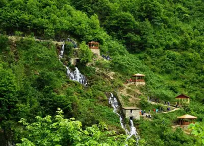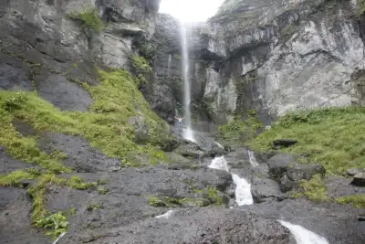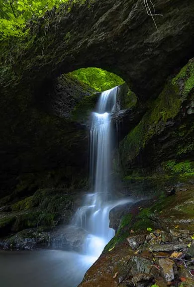
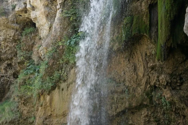
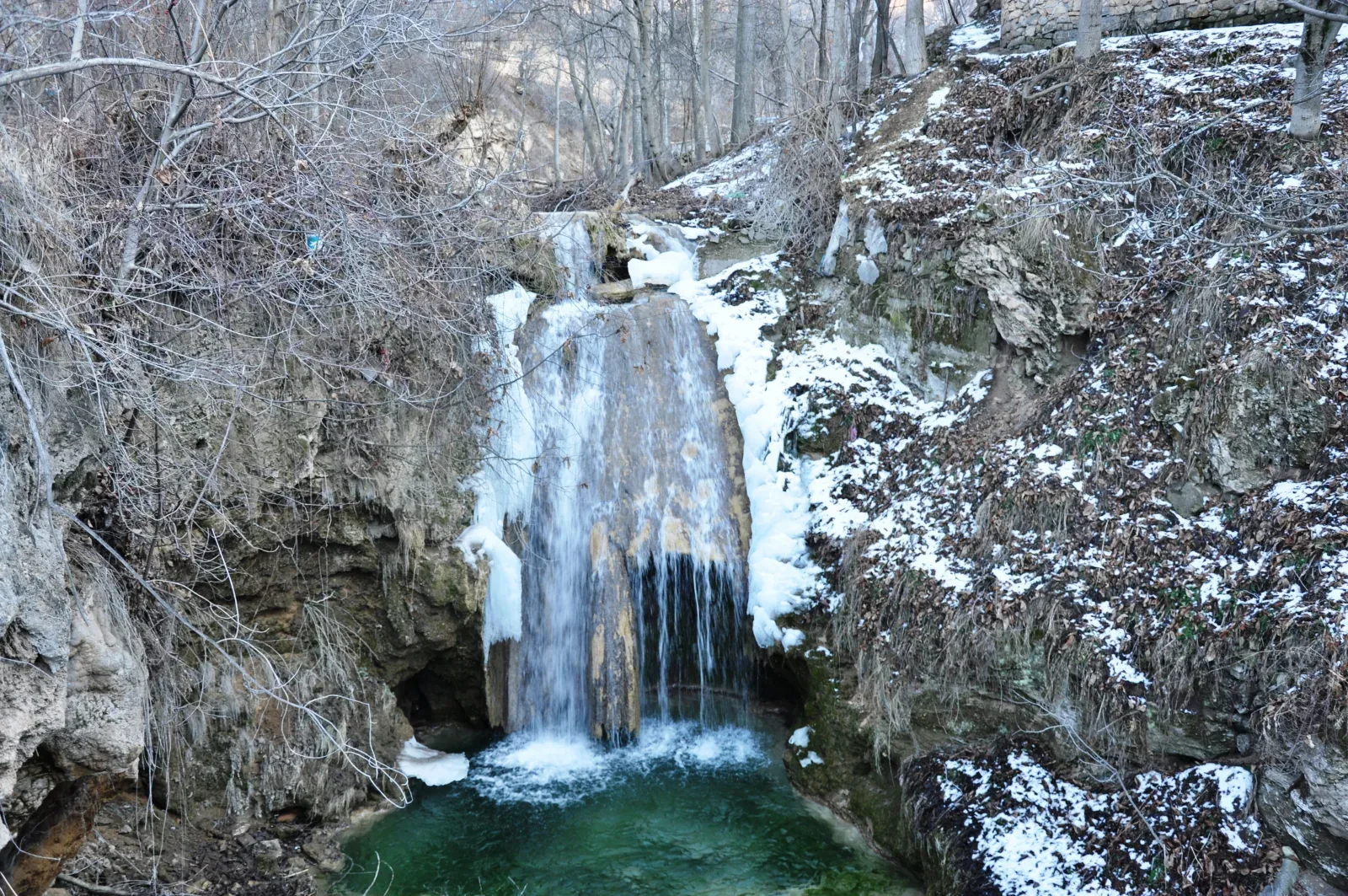
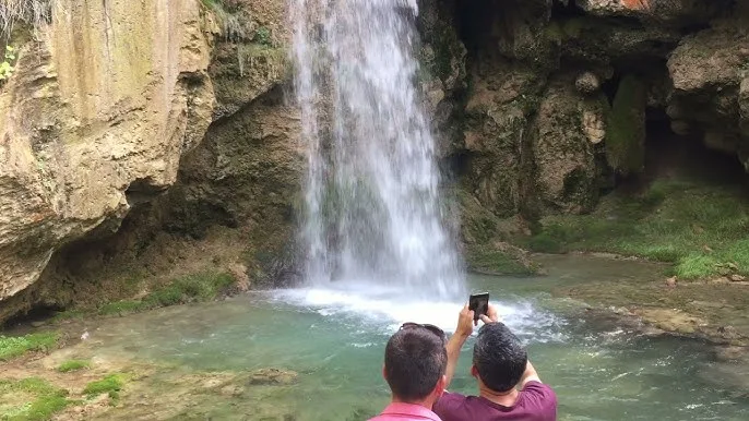
Camoluk Yenice Waterfalls in Giresun, Türkiye, is a free-to-visit natural monument consisting of ten cascades along Pınarbaşı Creek, designated in 2019 and spanning approximately 13 hectares.
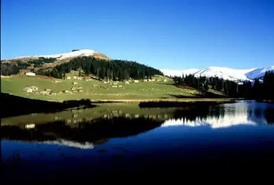
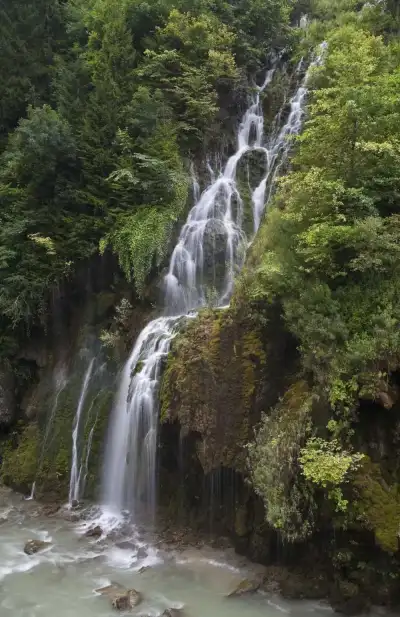
Yenice Waterfalls are lined along the valley where Pınarbaşı Creek flows, within the boundaries of Yenice Village, which is part of Camoluk. It is not a single waterfall, but rather a system consisting of a total of 10 drop points spread along the creek bed. There is a small lake arrangement 200 meters north of Pınarbaşı spring. Immediately after that comes a flood barrier, the main waterfall dropping from approximately 25 meters, and two old mills. From this point, 600 meters to the north are two more waterfalls 7-8 meters high. Two kilometers further, visitors encounter a large waterfall dropping 20 meters just below the mosque in the Pazar district.
Announced in the Official Gazette on April 9, 2019 as the "Yenice Waterfalls Natural Monument," the area covers approximately 13 hectares. The main reason for its protection is minimal human intervention. Geological and geomorphological formations, limestone and travertine deposits create the landscape value of the region. In the limestone-travertine section, there is a waterfall dropping 8 meters with an underground creek below it, and 500 meters later two more small waterfalls are added. At the end of the series, there is a long waterfall flowing downhill for approximately 150 meters. Pınarbaşı Creek ends here with a dam at the border of Usluca village.
Yenice village is one of the most populated settlements in the district: it has over 800 households and is located near the Gumushane provincial border. The village has abundant walnut trees. Visitors coming for a waterfall tour generally pass through the village and continue by following the creek.
Guide's Note
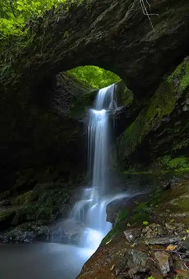
What Are Yenice Waterfalls and Why Are They Important
The region is not actually a single waterfall, but rather a waterfall corridor. A total of 10 drop points are lined along the valley where Pınarbaşı Creek flows; the largest is the main waterfall dropping from a height of 25 meters. Along with this, there is a 20-meter waterfall beneath the mosque, dual drops of 7-8 meters, and a sloping flow extending 150 meters. The reason it was announced as a natural monument in the Official Gazette in 2019 is this diversity: geological formations, limestone-travertine structures, and a landscape that has largely remained free from human intervention.
How to Get There
For those starting from Giresun city center, the distance is 203 kilometers; from Camoluk district center it is approximately 18-20 kilometers. The site is accessible via asphalt road from the Camoluk-Siran-Kelkit-Gumushane highway. To reach the waterfalls, enter the road from Ciftkopru to Kucukkoy. After the point where the road diverges from the creek, the village road is left behind and you proceed by following the creek; sturdy shoes and some time are needed for this final section. Public transportation is not practical; it is more sensible to go with your own vehicle or with a local guide.
Best Time to Visit
The period from late spring to late summer, when the creek flow is neither too high nor completely dry. During winter months, village roads can be challenging, and snowfall can affect accessibility. Even on hot summer days, the valley remains cool, and there are shaded areas along the creek.
Suggested Route
It is possible to start from the main waterfall and lake arrangement and head north, viewing the other drops in the series in order. The waterfall beneath the mosque in Pazar village can be considered as a separate stop, approximately 2 kilometers away. For those who want to explore the entire system from beginning to end, a half-day plan is necessary. Not all points are easily accessible by vehicle, so part of it is covered on foot.
Things to Keep in Mind
The ground is rocky and wet, with a particular risk of slipping around the waterfall areas. When hiking along the creek, it is important to remember that water levels vary by season. Since the area is under protection status, it is important not to leave trash and not to damage vegetation. Cell phone signal may weaken in the village; it is helpful to note route information beforehand.
Good Photography Spots
The area near the main waterfall's basin and the old mills, points where the creek and greenery appear together in the frame. The 20-meter waterfall beneath the mosque is also suitable for vertical shots. The 150-meter-long sloping waterfall is preferred for wide-angle photographs that show the entire flow.
Camoluk and Surroundings
Yenice village is the most populated settlement in Camoluk: it has over 800 households and is located near the Gumushane provincial border. The area around the village has a dense concentration of walnut trees, and local production is based on walnuts. Taking a short break in Camoluk district center before or after the waterfall tour, and getting information from local merchants, can also be beneficial.
This content originates from neresigezilir.com.tr and may not be copied without permission.
Camoluk Yenice Waterfalls Videos
Camoluk Yenice Waterfalls videos load when you open this section to keep the page fast.
Show videos
FAQ
Updated: